Purple Lizard Maps
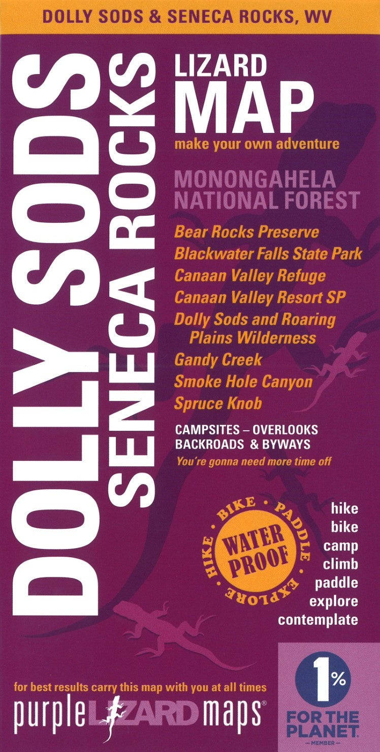
Dolly Sods-Seneca Rocks, Monongahela National Forest, West Virginia Lizard Map
Dolly Sods-Seneca Rocks, Monongahela National Forest, West Virginia Lizard Map
Couldn't load pickup availability
- SKU: PLM_DOLLY_26
This is one of Purple Lizard's most popular map titles, with amazing destinations for so many recreational pursuits: hiking, biking, boating, climbing, camping - the Monongahela National Forest has it all!
This map covers the northeastern section of the beautiful Monongahela National Forest, one of the best outdoor recreation playgrounds on the East Coast. Note: the Elkins-Otter Creek Lizard Map continues the adventure on the western tier of the 'Mon.
Just a few hours from DC, Baltimore, Philadelphia and Central PA, you're going to love exploring this fantastic area with the latest Purple Lizard Map.
More Great Mountain Biking, Hiking & Exploring!
This map covers absolutely beautiful landscape packed with some of the best recreation in West Virginia, including the northeastern most section of Monongahela National Forest: Blackwater Falls State Park, Canaan Valley National Wildlife Refuge, Dolly Sods Wilderness, Gandy Creek, Seneca Creek, Smoke Hole, Spruce Knob-Seneca Rocks National Recreation Area, and more.
- Beautiful mountains, stunning views and endless recreation
- Wilderness Areas and Recreational Areas
- Hundreds of miles of trails
- Superb climbing crags
- State Parks and National Wildlife Refuges
- Front and backcountry skiing
- South Branch Potomac River
- Hundreds of miles of winding backroads, dirt roads, and more!
- Type: Folded Map
- Subtype: Outdoor Recreation Maps
- Language: English
- Publication Date: 2026-05-01
- Scale: 1:48,000
- Regions Covered: North America, Southern U.S.
- Countries Covered: United States
- States Covered: West Virginia
- ISBN: 9781792333163
- UPC: 809368820240
- Folded Size: 4.5" (W) x 8" (H)
- Unfolded Size: 36" (W) x 24" (H)
- Weight: 3 oz