Longitude Maps
Desolation Sound and Johnstone Strait
Desolation Sound and Johnstone Strait
Regular price
$15.95 USD
Regular price
Sale price
$15.95 USD
Unit price
per
Shipping calculated at checkout.
Low stock
Couldn't load pickup availability
- SKU: DHC_DES_JOH_6
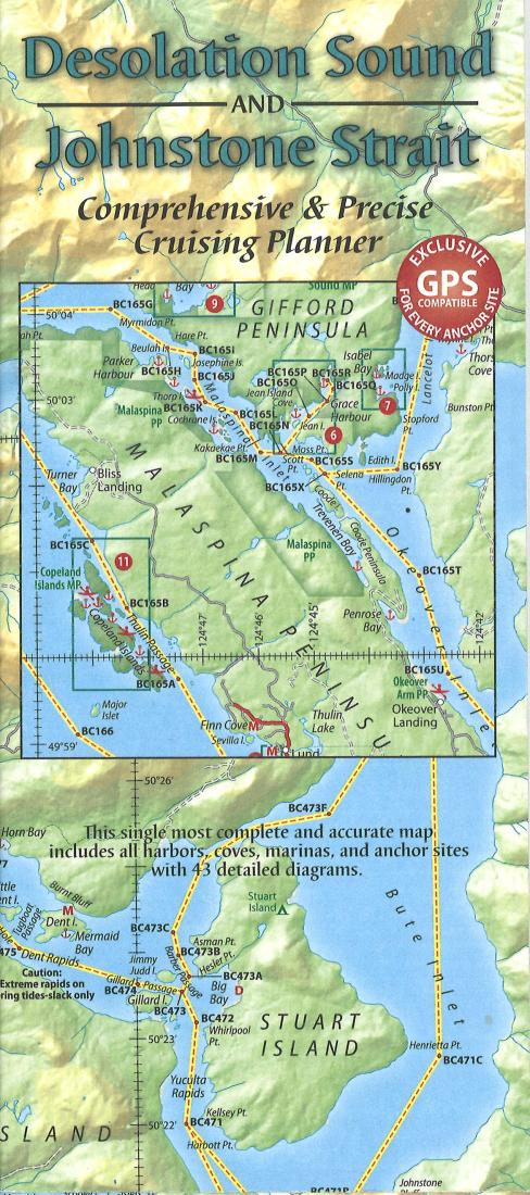
- The beautiful and popular cruising ground of Desolation Sound is the largest marine park in southern British Columbia. Its warm waters are ideal for swimming, snorkeling, diving, canoeing and kayaking. It has several offshore islands, and the upland areas contain a number of lakes, waterways and waterfalls, culminating in the magnificent snowcapped peaks of the Coast Mountains. Whether you’re traveling by motor vessel, sailboat, or kayak, this is a marvelous area to explore. The front of this Desolation Sound map includes a chart finder, a locator map, inset maps, and the unique Proven Cruising Routes© taken by Don and Réanne Douglass aboard their research vessel, Baidarka. Each map is GPS compatible. The back of the map has large-scale, detailed diagrams of local harbors and coves—all the places to tie up and anchor. Included are an alphabetical index of places, and a listing of route waypoints.
- Type: Folded Map
- Subtype: Park
- Language: English
- Publication Date: 2006-06-01
- Scale: 1:115315
- Countries Covered: Cambodia, Canada
- ISBN: 9780977648511
- Folded Size: 3.94" (W) x 9.06" (H)
- Unfolded Size: 35.83" (W) x 24.02" (H)
- Weight: 1.7 oz