1
/
of
1
Philip's
Derbyshire Street Atlas
Derbyshire Street Atlas
Regular price
$12.99 USD
Regular price
Sale price
$12.99 USD
Unit price
/
per
Shipping calculated at checkout.
Low stock
Couldn't load pickup availability
- SKU: PHI_DERBY_AT_4
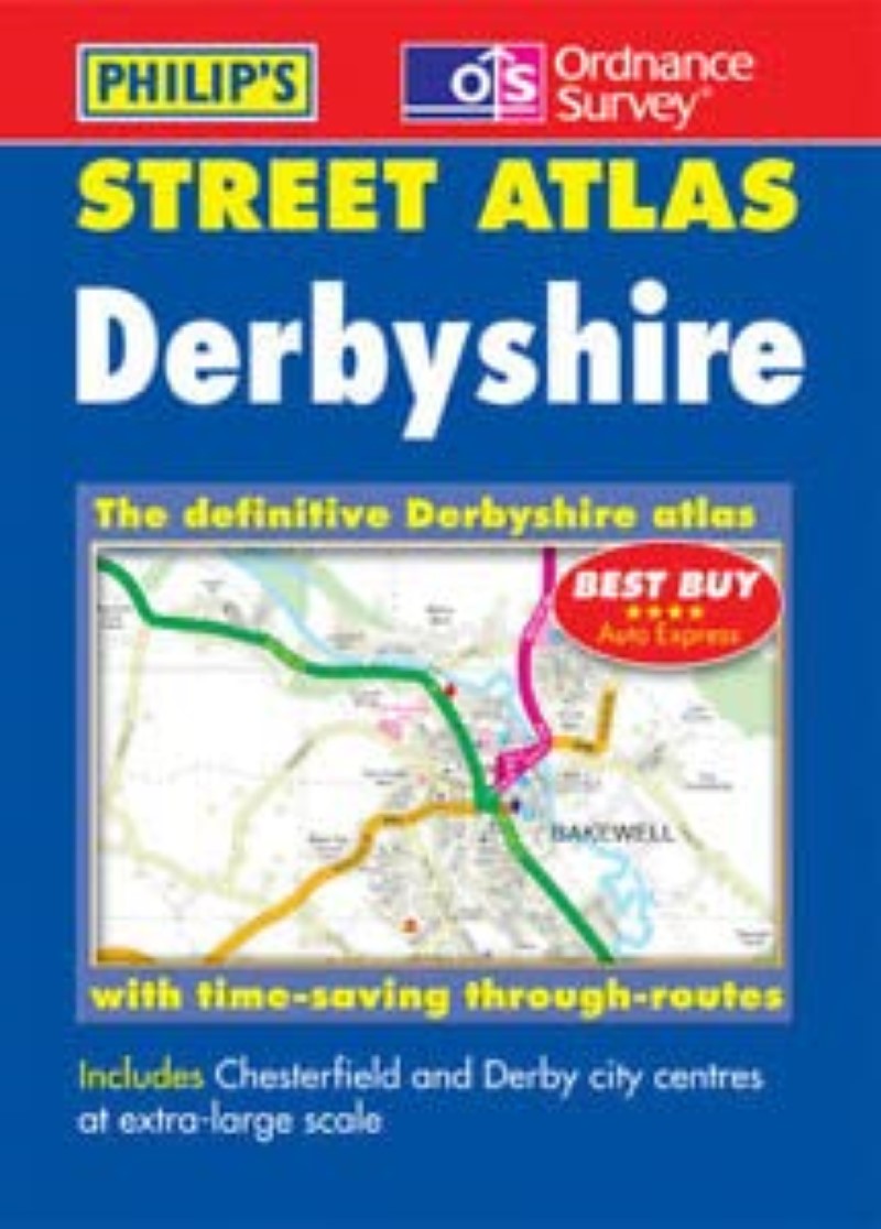
- A brand new edition of this successful colour atlas of Derbyshire, giving the most comprehensive and detailed coverage of the region. No other atlas names every street in Derbyshire.The mapping is sourced from Ordnance Survey and gives the user complete coverage of all urban and rural areas. The mapping is at a standard scale of 3 inches to 1 mile (2 inches to 1 mile in the pocket edition) and is complete with postcode boundaries.The atlas is ideally suited for both business and leisure use.
- Type: Spiral Bound Atlas
- Subtype: Popular/Travel
- Language: English
- Regions Covered: British Isles, Europe
- Countries Covered: United Kingdom
- States Covered: England
- ISBN: 9780540081158
- Folded Size: N/A
- Unfolded Size: 10.5" (W) x
- Weight: 24 oz


