Hike734
Day Hikes of Zion National Park Map Guide
Day Hikes of Zion National Park Map Guide
Couldn't load pickup availability
- SKU: H734_ZION_22
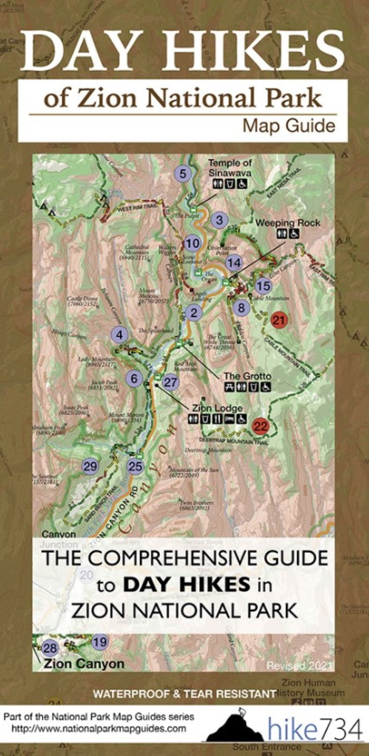
The Day Hikes of Zion National Park Map Guide was designed to simply answer the question, “Where should we hike today?” These maps take the wonderful intuitiveness and visualization from a beautiful topographical map that Jake built from the ground up and couple it with short descriptions of all 29 day hikes that you’d get from a book to get you a sense of the trail. The magic happens with Jake’s ranking of the trails using his expertise of comparing all of them to help answer the question, “Should we hike trail A or trail B?” To answer the question of “How hard is this trail?”, this map uses a slightly different approach. Instead of using the very subjective easy/moderate/difficult, the descriptions are grouped by distance. A brief look at the elevation change, description, and color-coded trails let you know if it is something you want to tackle. Trail steepness is calculated as level (green), moderate incline (yellow), and steep (red), so you can quickly see if the elevation change is spread out over a hike or all in one spot. This waterproof map guide can be easily thrown into your backpack. You won’t have to spend time wondering if the trail is one you should hike, you can easily choose and go.
Map features are:
29 day hikes ranked by Jake recommendations
Zoomed in map of Zion Canyon
Color coded trail segments indicate trail steepness (See product photos. If the trail is green, it’s level. If the trail is yellow, it’s got some incline. If it’s red, it’s just plain steep.)
Descriptions give you a sense of the hike
Distances labeled between junctions and/or features
Family friendly and accessible hikes labeled
Topographic lines help determine elevation change
Shuttle stops for Springdale and Zion
Printed on recyclable, synthetic paper to be waterproof and tear resistant
Map folds out to 39″ x 26″- Type: Map and Guide
- Subtype: Hiking
- Language: English
- Publication Date: 2022-06-01
- Scale: 1:60,000
- Regions Covered: Central U.S., North America
- Countries Covered: United States
- States Covered: Utah
- ISBN: 9780988975323
- Folded Size: 4.25" (W) x 9" (H)
- Unfolded Size: 39" (W) x 26" (H)
- Weight: 3.4 oz


