1
/
of
1
Nordisk Korthandel
Cyclemap of Southern Zeeland
Cyclemap of Southern Zeeland
Regular price
$28.99 USD
Regular price
Sale price
$28.99 USD
Unit price
/
per
Shipping calculated at checkout.
Low stock
Couldn't load pickup availability
- SKU: NKH_ZEELAND_S_CY_23
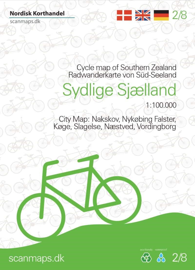
- The southern part of the Danish island of Zealand together with the nearby islands of Mønk, Falster and Lolland at 1:100,000 on a sturdy, waterproof and tear-resistant, double-sided cycling map from the Copenhagen-based Nordisk Korthandel, showing the country’s national, regional and local cycling routes with numbers, plus locations of campsites and youth hostels, etc. Coverage, with a generous overlap between the sides, starts at Solrød Strand just south of Copenhagen. Maps in this series show Denmark’s network of roads, railways and ferry connections on a contoured base (interval not specified), with additional colouring for woodlands. National, regional and local cycling routes are prominently highlighted and shown with their official numbers. Symbols indicate locations of campsites, youth hostels, selected hotels, and rest areas. The maps have no geographical coordinates for GPS. Map legend and explanatory text (with website addresses of useful organizations) include English.
- Type: Folded Map
- Subtype: Bicycling
- Language: Danish, English, German
- Publication Date: 2023-06-01
- Scale: 1:100,000
- Regions Covered: Central Europe, Europe
- Countries Covered: Netherlands
- ISBN: 9788779671775
- MPN: SCANM.FK.2
- Folded Size: 5.12" (W) x 7.09" (H)
- Unfolded Size: 27.56" (W) x 39.37" (H)
- Weight: 2.1 oz


