Nordisk Korthandel
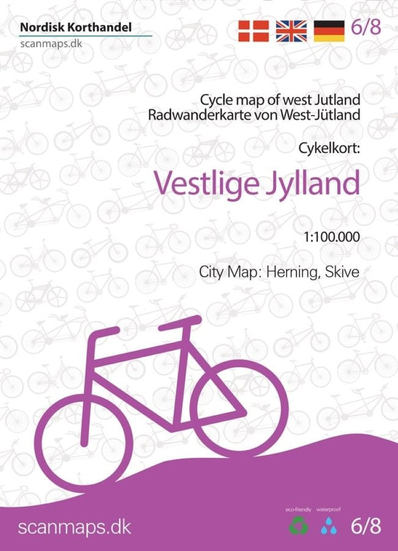
Cycle Map of West Jutland
Cycle Map of West Jutland
Couldn't load pickup availability
- SKU: NKH_JUT_W_22
West Jutland at 1:100,000 on a sturdy, waterproof and tear-resistant cycling map from the Copenhagen-based Nordisk Korthandel, showing Denmark’s national, regional and local cycling routes with numbers, plus locations of campsites and youth hostels, etc.
Maps in this series show Denmark’s network of roads, railways and ferry connections on a contoured base (interval not specified), with additional colouring for woodlands. National, regional and local cycling routes are prominently highlighted and shown with their official numbers. Symbols indicate locations of campsites, youth hostels, selected hotels, and rest areas. The maps have no geographical coordinates for GPS. Map legend and explanatory text (with website addresses of useful organizations) include English.
- Type: Folded Map
- Subtype: Bicycling
- Language: Danish, English, German
- Publication Date: 2022-06-01
- Scale: 1:100,000
- Regions Covered: Europe, Western Europe
- Countries Covered: Denmark
- ISBN: 9788779671751
- Folded Size: 5" (W) x 7" (H)
- Unfolded Size: 27" (W) x 39" (H)
- Weight: 2.5 oz