Kasprowski Publisher
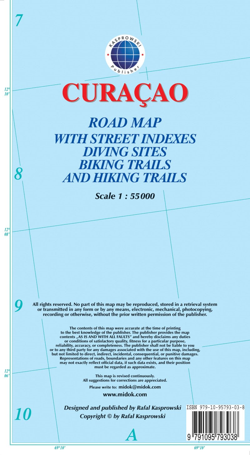
Curaçao : road map with street indexes diving sites biking trails and hiking trails
Curaçao : road map with street indexes diving sites biking trails and hiking trails
Regular price
$15.95 USD
Regular price
Sale price
$15.95 USD
Unit price
per
Shipping calculated at checkout.
Couldn't load pickup availability
- SKU: KAS_CUR_16
- Curaçao at 1:55,000 on an indexed and GPS compatible map from the Caribbean-based cartographer Michal Kasprowski highlighting numerous diving sites and various places of interest, with street plans of four locations plus on the reverse a more detailed enlargement of the Willemstad urban area. Topography is shown by altitude colouring with spot heights; the Christoffel National Parks is clearly marked. Road network indicates main roads and shows secondary roads and local tracks or footpaths. Recommended biking and hiking trails are highlighted. Symbols show various facilities and places of interest including beaches and snorkelling sites, flamingo areas, scenic views, etc. Along the coast numerous diving sites are marked. The map has latitude and longitude lines at 2’ intervals. The index lists road/street names. Map legend is in English. On the reverse is an indexed enlargement showing in greater detail at 1:18,500 the Willemstad urban area, including access to the island’s international airport. Also provided are indexed street plans of Barber, Grote Barber and Tera Cota (all at 1:8,000), plus central Willemstad at 1:6,000.
- Type: Folded Map
- Subtype: Road
- Language: English
- Publication Date: 2016-06-01
- Scale: 1:55,000
- Regions Covered: Caribbean Sea, Central America, North America
- Countries Covered: Curacao
- ISBN: 9791095793038
- Folded Size: 4.72" (W) x 9.06" (H)
- Unfolded Size: 26.38" (W) x 38.58" (H)
- Weight: 2.5 oz