International Travel Maps
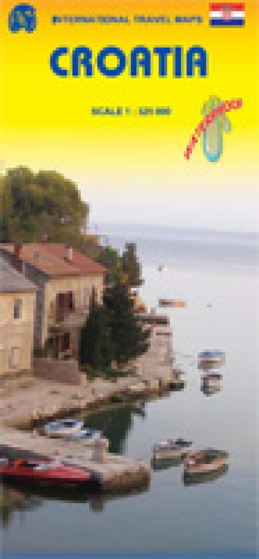
Croatia Travel Map
Croatia Travel Map
Regular price
$11.95 USD
Regular price
Sale price
$11.95 USD
Unit price
per
Shipping calculated at checkout.
Low stock
Couldn't load pickup availability
- SKU: ITM_CRO_8
- This double-sided map shows the whole country and is printed on durable waterproof paper. The map distinguishes roads ranging from highways to streets and new motorways under construction. The elevation ranges is shown from the valleys in green to the highest mountains in brown. Legend includes railways, railway stations, ferry lines, border crossings, national parks, international airports, airports/airfields, yacht harbors, castles/forts of interest, monasteries/ruins, churches, mosques, caves, archaeological sites, places of interest, viewpoints, campsites, UNESCO World Heritage site, gas stations, and restaurants. This map comes with an index of places.
- Type: Folded Map
- Subtype: Travel
- Language: English
- Publication Date: 2008-06-01
- Scale: 1:325,000
- Regions Covered: Adriatic Sea, Central Europe, Europe
- Countries Covered: Croatia
- ISBN: 9781553411819
- Folded Size: 4" (W) x 9.5" (H)
- Unfolded Size: 39" (W) x 27" (H)
- Weight: 1.9 oz