Terrain Editions
Crete Regional Map (#7)
Crete Regional Map (#7)
Couldn't load pickup availability
- SKU: TERR_7_CRETE_22
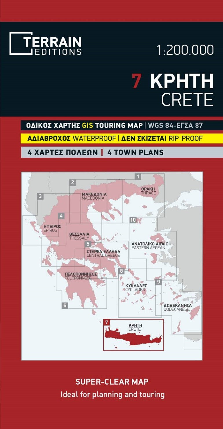
The road and touring map of Crete is the ideal map for planning your trip. This map includes the whole of Crete at the practical scale of 1:200.000, which allows for a precise presentation of the complete road network and major sights, while remaining clear and easy to read.
Fully updated road network
Excellent map composition, which makes the map delightfully readable.
All the archaeological sites, beaches, camping sites, mountain refuges, the E4 European trail
Detailed town plans of the four large towns of Crete : Chania, Heraklion, Rethymno and Aghios Nikolaos
Top 20 list with sights and things to do in Crete.
Complete alphabetical index of all towns and villages, monasteries and archaeological sites.
G.I.S. mapping technology in two geodetic reference systems (ΕΓΣΑ 87 and WGS 84.)
Printed on indestructible polyart paper.- Type: Folded Map
- Subtype: Road
- Language: English
- Publication Date: 2022-06-01
- Scale: 1:200,000
- Regions Covered: Balkans, Europe, Mediterranean Sea
- Countries Covered: Greece
- ISBN: 9789609456715
- MPN: 7
- Folded Size: 5" (W) x 9.75" (H)
- Unfolded Size: N/A
- Weight: 3 oz


