Bureau of Land Management
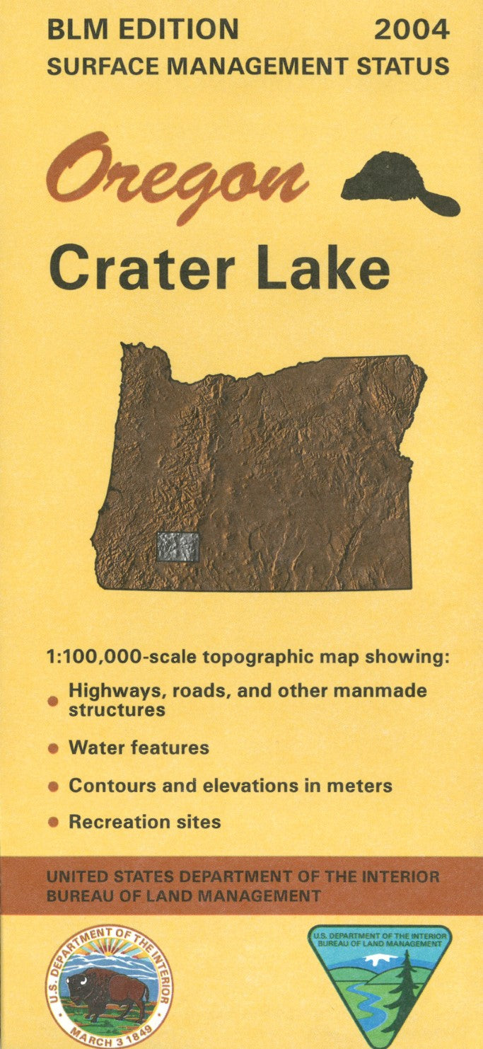
Crater Lake, Oregon Surface Management Map
Crater Lake, Oregon Surface Management Map
Couldn't load pickup availability
- SKU: BLM_CRATER_4
Explore the beauty and terrain of Crater Lake with the Surface Management Map from the Bureau of Land Management (BLM). This detailed, full-color map offers a comprehensive view of land ownership, usage, and surface management designations within the Crater Lake area. Perfect for outdoor enthusiasts, land planners, and researchers, the map clearly identifies public lands, national forests, recreation areas, and other key features of this stunning Oregon landmark.
Whether you're planning a hiking trip, conducting research, or simply want to understand the diverse landscape of Crater Lake, this official map is an essential tool for anyone interested in navigating the area. Its high-quality printing and user-friendly design make it an indispensable resource for both casual explorers and professionals alike. Keep this map on hand to ensure you’re always informed about land management boundaries and regulations while enjoying the Crater Lake National Park and its surroundings.
- Type: Folded Map
- Subtype: Land Use / Land Cover
- Publication Date: 2004-01-01
- Scale: 1:100,000
- Regions Covered: North America, Northwestern U.S.
- Countries Covered: United States
- States Covered: Oregon
- ISBN: 9780607936285
- MPN: 88363
- Folded Size: 4" (W) x 9" (H)
- Unfolded Size: 44" (W) x 27" (H)
- Weight: 2.4 oz