1
/
of
1
Backroads Mapbooks
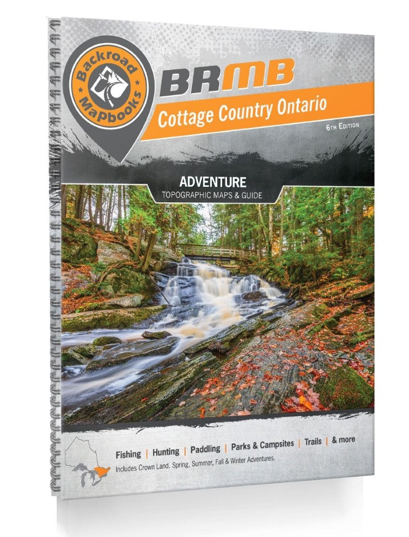
Cottage Country Ontario Backroad Mapbook
Cottage Country Ontario Backroad Mapbook
Regular price
$29.95 USD
Regular price
Sale price
$29.95 USD
Unit price
/
per
Shipping calculated at checkout.
Couldn't load pickup availability
- SKU: BRM_COTTAGE_AT_23
- Covering the idyllic cottage destinations of the Muskoka and Kawartha areas, the natural splendor of Algonquin Provincial Park, the bustling National Capital Area and all the way up to North Bay on Lake Nipissing in the north, this Mapbook is your ultimate guide to one of the country's most popular outdoor recreation destinations. Known as the heart of Ontario's outdoors, Cottage Country is home to thousands of scenic lakes and rivers, vibrant forests and rugged and rocky Canadian Shield. Algonquin Park, in particular, is one of the world's most popular canoeing destinations, attracting people from far and wide to paddle, camp and fish among its iconic natural beauty. We have spent countless hours updating our maps and written content in the 6th edition including many new motorized and multi-use trails, clearly labelled Crown and private land, labelled fish species on the maps and charts for both fish stocking and long-distance multi-use trails. Of course, you will also find all the classic features that make Backroad Mapbooks so popular among outdoor explorers, including our industry-leading topographic relief and shading, unparalleled road and trail coverage, detailed Adventure listings and much more. We can confidently say there is no better resource available for exploring Cottage Country's great outdoors. The printed version of the mapbook comes in the convenient 21.5 x 28 cm (8.5 x 11 in) mapbook format with a heavy-duty spiral-bound cover. The 265 page book includes 106 maps at 1:150,000 scale, along with 10 Outdoor Adventure sections, a Service Provider Directory, Map and Adventure Index, Trip Planning tools and more. With over 100,000 kilometres of roads to view including the most complete logging and industrial road coverage available, the books are ideal for navigating on road trips and planning from home. Print Features Map Key & Legend Topographic Maps 106 @ 1:150,000 Scale Maps Detailed Adventure Section Backroad Attractions Fishing Locations Hunting Areas Paddling Routes Parks & Campsites Trail Systems ATV Routes Snowmobile Areas Wildlife Viewing Winter Recreation Backcountry Hut & Cabin Service Directory Accommodations Sales & Services Tours & Guides Index Adventure Index Map Index Trip Planning Tools
- Type: Spiral Bound Atlas
- Subtype: Popular/Travel
- Language: English
- Publication Date: 2023-06-01
- Scale: Scales differ
- Regions Covered: North America
- Countries Covered: Canada
- States Covered: Ontario
- ISBN: 9781989175309
- UPC: 622098002676
- MPN: CCON
- Folded Size: N/A
- Unfolded Size: 8.5" (W) x 11" (H)


