1
/
of
1
Sportoena Europe BVBA
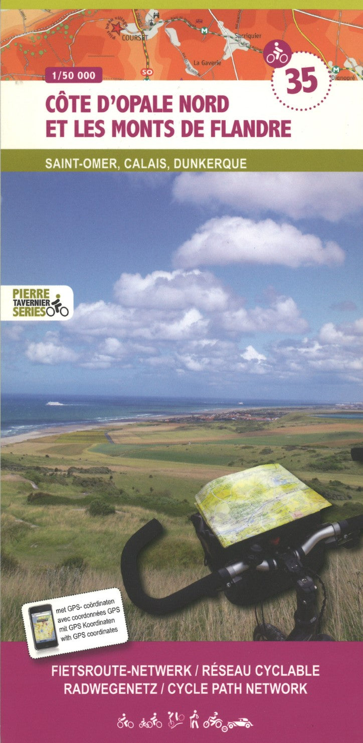
Cote D'Opale Nord Et Les Monts De Flandre
Cote D'Opale Nord Et Les Monts De Flandre
Regular price
$16.99 USD
Regular price
Sale price
$16.99 USD
Unit price
/
per
Shipping calculated at checkout.
Low stock
Couldn't load pickup availability
- SKU: SPOR_35_
- This is part of a cycling map series covering Belgium and parts of the surrounding regions, such as the Charleroi-Paris and Luxembourg-Paris routes. The maps show local routes, long-distance cycling paths, classification according to the density of traffic, campsites and places of interest, etc. The base maps are brightly colored and very different from most maps and may not appeal to everyone. The maps are designed - and do it well - to highlight the recommended cycling routes and the alternative routes, with information given on the type of road and the density of auto traffic. Route numbers are noted for posted cycling routes and long-distance routes are well marked on the maps. Elevation information is lacking, as the color shading of the base maps is too faint to really be legible.
- Type: Folded Map
- Subtype: Bicycling
- Language: English, French, German
- Scale: 1:50,000
- Regions Covered: Europe, Western Europe
- Countries Covered: France
- ISBN: 9789078976363
- MPN: 35
- Folded Size: 4.5" (W) x 9.5" (H)
- Unfolded Size: 39" (W) x 27.5" (H)
- Weight: 3 oz


