Editorial Compass Chile Spa
Maule Y Bío Bío (Regíon del Libertador General Bernardo O'Higgins, Regíon del Maule, Regíon de Ñuble, Regíon de Bío-bío & Regíon de la Araucanía) - Chile Tourist Road Map #5
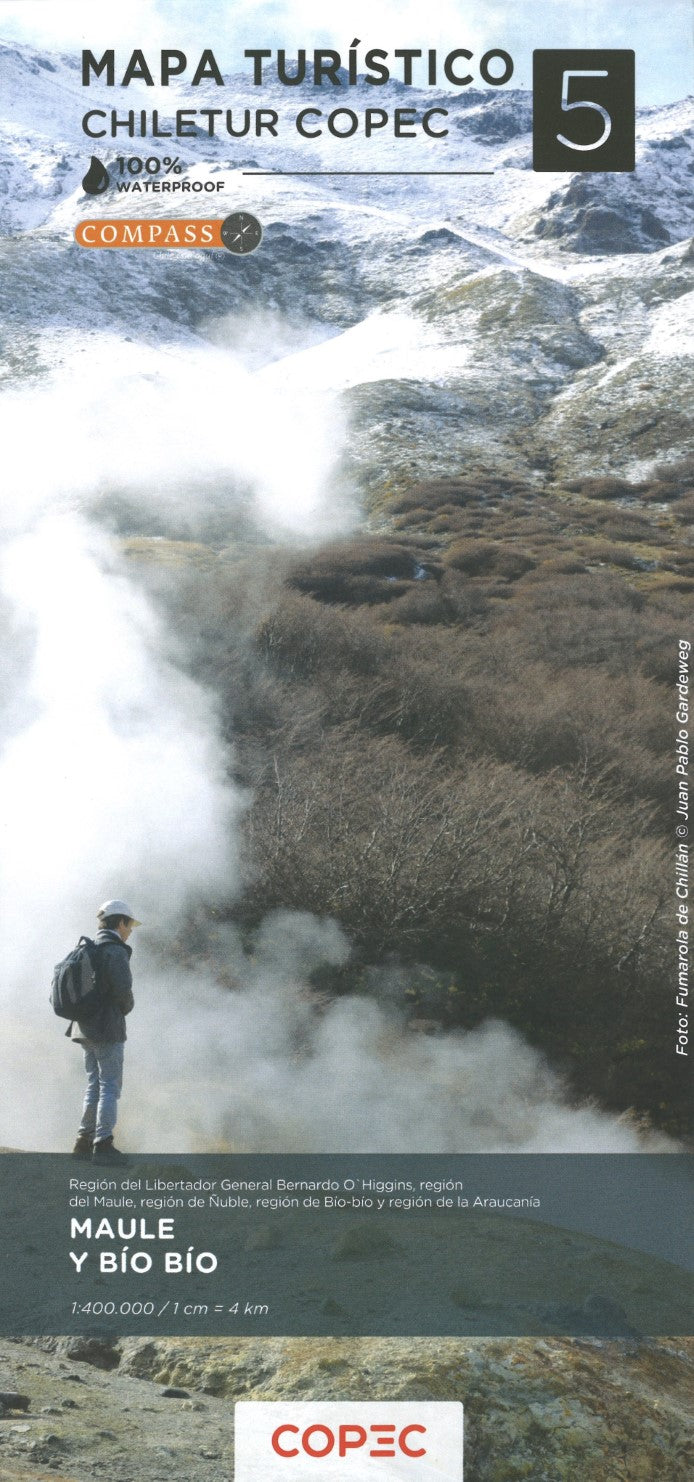
Maule Y Bío Bío (Regíon del Libertador General Bernardo O'Higgins, Regíon del Maule, Regíon de Ñuble, Regíon de Bío-bío & Regíon de la Araucanía) - Chile Tourist Road Map #5
Couldn't load pickup availability
- SKU: COP_5_MAULE_25
This map is #5 of part of a 9-sheet series of indexed and GPS-compatible regional maps from Compass Editorial, covers the Maule and Bío Bío regions of Chile at a 1:400,000 scale. Printed on lightweight, waterproof, and tear-resistant synthetic paper, the map provides an excellent representation of the topography, using satellite imagery with shading and altitude coloring. It highlights national parks and protected areas, including the Río Cipreses Reserve, Siete Tazas National Park, Altos de Lircay National Reserve, Ñuble National Reserve, Ralco and Malleco, Conguillío National Park, and Huerquehue National Park, as well as the entire coastal road from Pichilemu to Tirúa.
Coverage extends from just above 34°30’ (Pichilemu - Rengo) to just beyond 39° south (Gorbea), including major cities like Talca, Concepción, and Temuco. The map also features a detailed road network, including dirt roads, 4WD tracks, paved roads, and locations for border crossings, petrol stations, toll booths, and police units. Driving distances are marked on both main and secondary routes, and railway lines and local airports are also indicated.
Each side of the double-sided map has its own index and a distance table, along with a latitude and longitude grid at 15' intervals. A variety of symbols indicate places of interest such as UNESCO World Heritage sites, beaches, hot springs, trekking areas, and cultural or historical landmarks. This map is an essential tool for travelers exploring the beautiful landscapes and rich heritage of southern Chile.
- Type: Folded Map
- Subtype: Outdoor Recreation Maps
- Language: English, Spanish
- Publication Date: 2025-02-01
- Scale: 1:400,000
- Regions Covered: South America
- Countries Covered: Chile
- ISBN: 9789569248702
- MPN: 5
- Folded Size: 3.94" (W) x 9.45" (H)
- Unfolded Size: 27.17" (W) x 38.58" (H)
- Weight: 4.4 oz