Kasprowski Publisher
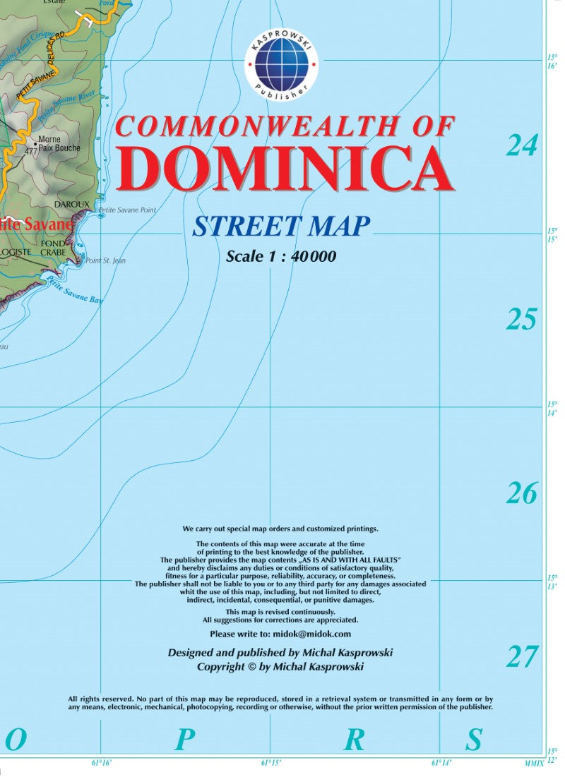
Commonwealth of Dominica : street map
Commonwealth of Dominica : street map
Regular price
$15.95 USD
Regular price
Sale price
$15.95 USD
Unit price
per
Shipping calculated at checkout.
Low stock
Couldn't load pickup availability
- SKU: KAS_DOM_9
- This first and only complete road map with a place index of Dominica ( Scale : 1 : 40000 ) renders all the island's known roads and streets with their names, pinpoints diving sites off the island, and provides insets and street indexes for the major urban areas: Roseau capital; Mero / St. Joseph; Wallhouse / Loubière; Lagon / Portsmouth / Glanvillia. *** The map is sold folded, measuring 6" x 8" ( 15 cm x 20 cm ), and is designed for easy opening and refolding. Its full unfolded format is 29 1/4" x 48 1/2" ( 74 cm x 123 cm ).
- Type: Folded Map
- Subtype: Road
- Language: English
- Publication Date: 2009-06-01
- Scale: 1:40,000
- Regions Covered: Caribbean Sea, North America
- Countries Covered: Dominican Republic
- ISBN: 9791095793076
- Folded Size: 5.91" (W) x 8.27" (H)
- Unfolded Size: 48.43" (W) x 29.13" (H)
- Weight: 2.9 oz