MaptheXperience
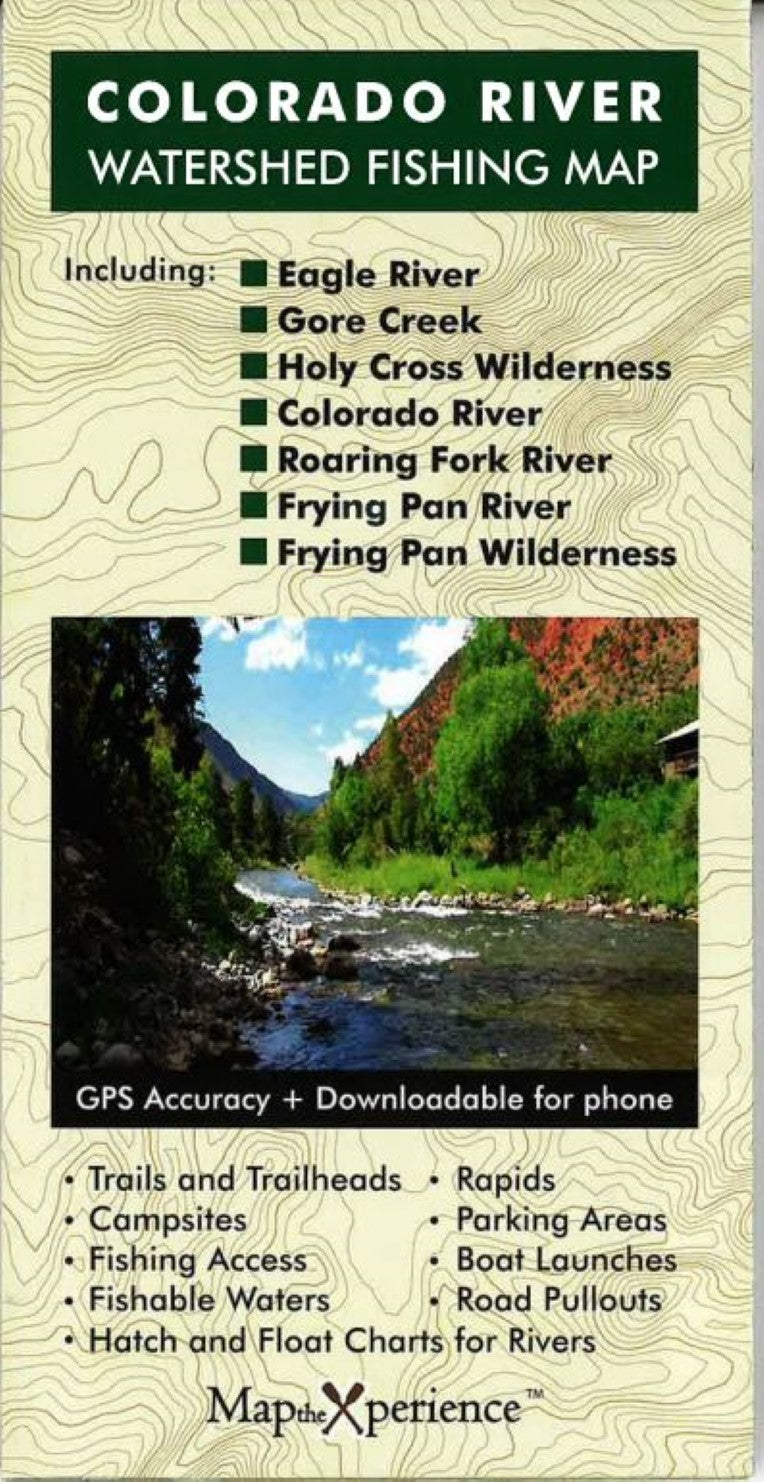
Colorado River Watershed Fishing Map
Colorado River Watershed Fishing Map
Regular price
$11.95 USD
Regular price
Sale price
$11.95 USD
Unit price
per
Shipping calculated at checkout.
Low stock
Couldn't load pickup availability
- SKU: MTXP_CO_RIV_WTRSHD
Colorado River Watershed Fishing Map
Big Water. Big Coverage. Bigger Possibilities.
Covers the Waters You Dream About:
- Eagle River - From Camp Hale to Dotsero
- Gore Creek - From the Gore Range to the Eagle
- Colorado River - From Dotsero to Rifle
- Roaring Fork River - From Independence Pass to Glenwood Springs
- Fryingpan River - From the Hunter-Fryingpan Wilderness to Basalt
- Crystal River & More - Including remote gems in the Holy Cross and Hunter-Fryingpan Wilderness Areas
Built to Help You Fish Smarter:
- Public Land Boundaries - federal, state, county, and city lands clearly marked
- Exclusive parking spots - access points not found on any other map
- Floaters' guide - with put-ins, take-outs, rapids, and mileage chart
- Hatch charts - for matching the hatch on each river
- Campsites, trails & trailheads - perfect for planning day trips or multi-day excursions
- Type: Folded Map
- Subtype: Fishing
- Language: English
- Publication Date: 2025-06-01
- Regions Covered: Central U.S., North America
- Countries Covered: United States
- States Covered: Colorado
- ISBN: 9798988386438
- UPC: 850118008685
- MPN: PMRFRC
- Folded Size: 4" (W) x 8" (H)
- Unfolded Size: 36" (W) x 24" (H)
- Weight: .2 lb