1
/
of
1
Time Traveler Maps
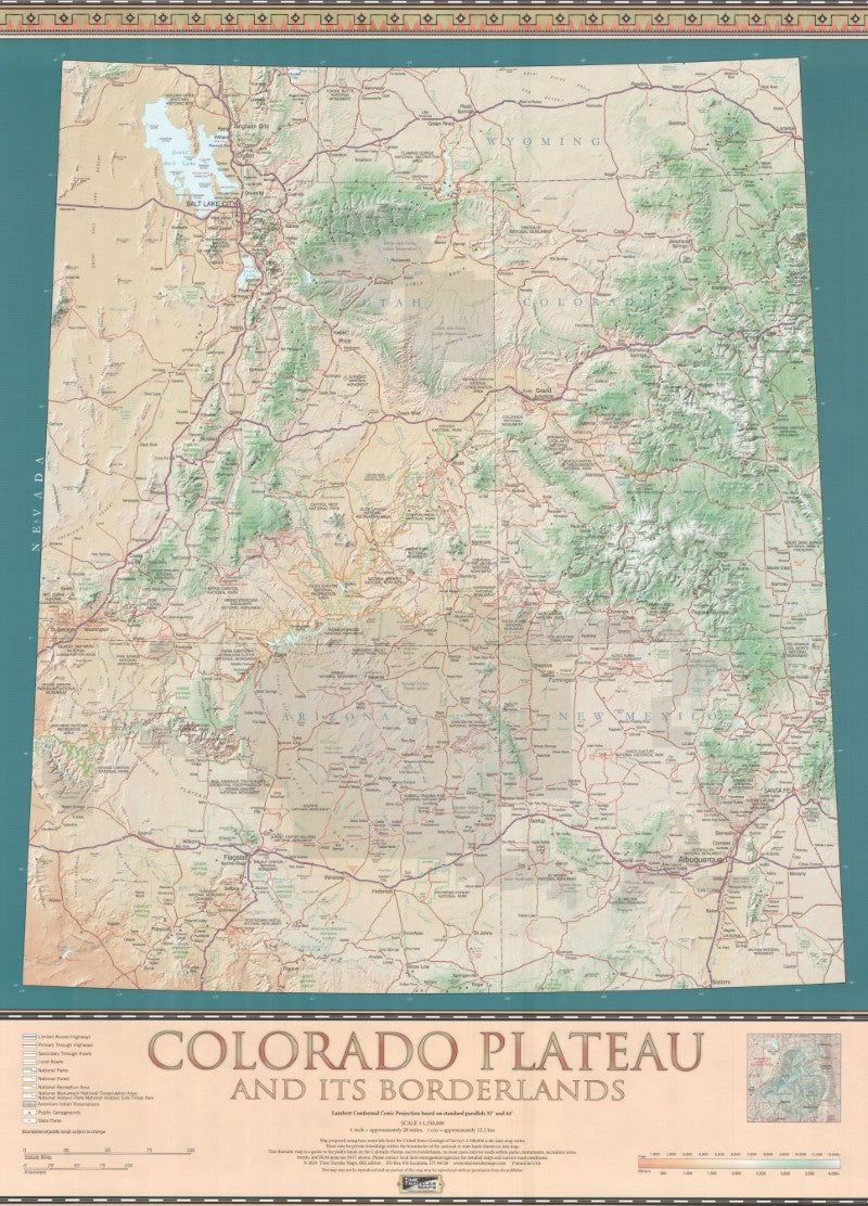
Colorado Plateau (UT/AZ/NM/CO/WY) Wall Map 36x26
Colorado Plateau (UT/AZ/NM/CO/WY) Wall Map 36x26
Regular price
$29.99 USD
Regular price
Sale price
$29.99 USD
Unit price
/
per
Shipping calculated at checkout.
Low stock
Couldn't load pickup availability
- SKU: TT_CO_PLAT_WA_24
The Colorado Plateau hosts the greatest and most diverse collection of National Parks and public lands on earth! Featuring over 50 National Parks, Monuments, Recreation Areas, and Conservation Areas, the Plateau is a wonderland for scenic and recreational opportunities throughout the year. This popular map is the ideal companion for your exploration of this fascinating landscape.
*A portion of the sales of this map and guide is donated to the Peaks, Plateaus and Canyons Association (PPCA). This organization represents nonprofit museum associations on the Colorado Plateau that promote educational programs, research, and stewardship within parks and other public lands.
- Type: Wall Map
- Subtype: Physical
- Language: English
- Publication Date: 2024-10-01
- Scale: 1:1,250,000
- Regions Covered: Central U.S., North America, Southwestern U.S.
- Countries Covered: United States
- States Covered: Arizona, Colorado, New Mexico, Utah, Wyoming
- ISBN: 9780783427546
- Folded Size: N/A
- Unfolded Size: 26" (W) x 36" (H)
- Weight: 14.47 oz


