Raven Maps
Colorado Map Elevation Tints Fine Art Print Map
Colorado Map Elevation Tints Fine Art Print Map
Regular price
$125.00 USD
Regular price
Sale price
$125.00 USD
Unit price
per
Shipping calculated at checkout.
Couldn't load pickup availability
- SKU: PODRP_CO_ELEV_49X38_WA
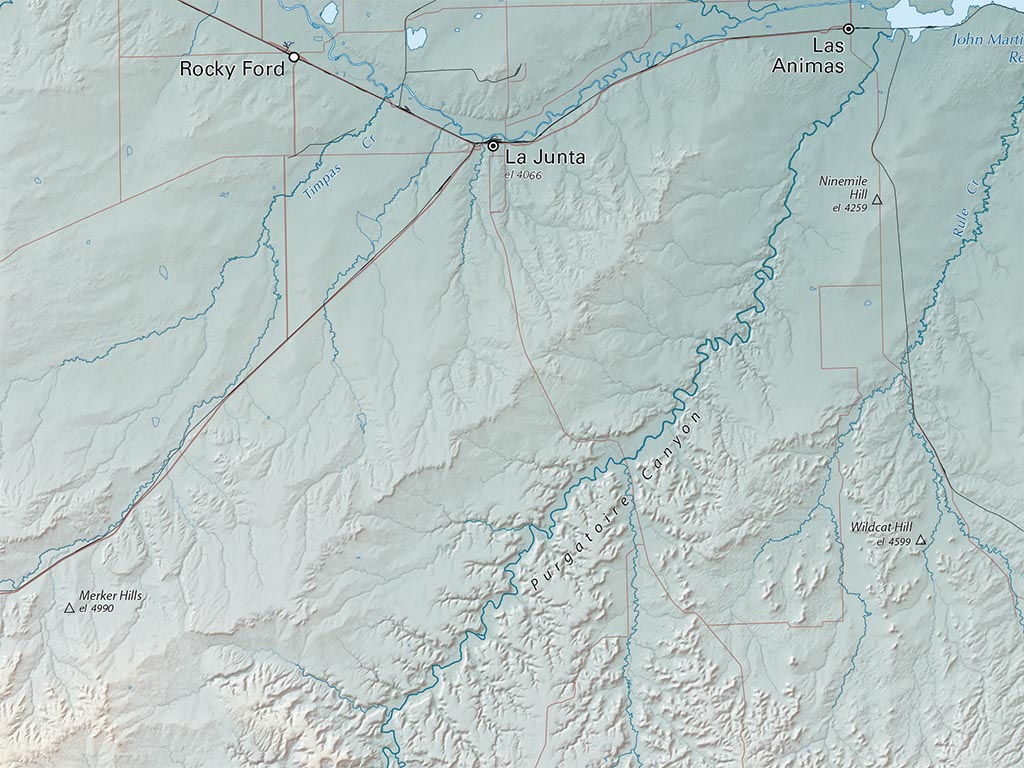
Our newest map of Colorado uses elevation tints in subtle hues of green, tan, and brown to show the differences in elevation throughout Colorado, from the lowest point, 3,317' (the Arikaree River), to Mount Elbert at 14,440'.
This new topographic map of Colorado also displays an incredible amount of detail, from cities, highways, and mountain ranges, to valleys, rivers, and small towns as well as Colorado's beloved "Fourteeners". The elevations are represented by color, and this, in combination with our special relief shading technique, gives the Colorado fine art print map a lush, 3-dimensional look.
Dimensions: All map dimensions are approximate.
- Type: Flat Map
- Subtype: Wall Art
- Language: English
- Regions Covered: Central U.S., North America
- Countries Covered: United States
- States Covered: Colorado
- UPC: 767020011378
- MPN: colorado-elevation-tints-fine-art-print-map
- Folded Size: N/A
- Unfolded Size: 49" (W) x 38" (H)
- Finish: Regular Paper