1
/
of
1
GM Johnson
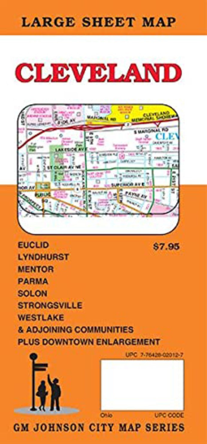
Cleveland, Ohio Street Map
Cleveland, Ohio Street Map
Regular price
$7.95 USD
Regular price
Sale price
$7.95 USD
Unit price
/
per
Shipping calculated at checkout.
Low stock
Couldn't load pickup availability
- SKU: GMJ_CLEVELAND_21
- Cleveland, Ohio Street Map Cuyahoga County, Geauga County, Lake County, Lorain County, Summit County, Bay Village, Beachwood, Bedford Heights, Bentleyville, Berea, Boston Heights, Bratenahl, Brecksville, Broadview Heights, Brook Park, Brooklyn, Brooklyn Heights, Chagrin Falls, Chardon, Cleveland, Cleveland Heights, Cuyahoga Heights, East Cleveland, Eastlake, Euclid, Fairview Park, Garfield Heights, Gates Mills, Glenwillow, Highland Heights, Highland Hills, Hunting Valley, Independence, Kirtland, Kirtland Hills, Lakewood, Linndale, Lyndhurst, Macedonia, Maple Heights, Mayfield, Mayfield Heights, Mentor, Mentor-On-The Lake, Middleburg Heights, Moreland Hills, Newburgh Heights, North Olmsted, North Randall, North Royalton, Northfield, Oakwood, Olmsted Falls, Orange, Painesville, Parma, Parma Heights, Pepper Pike, Richmond Heights, Rocky River, Seven Hills, Shaker Heights, Solon, South Euclid, South Russell, Strongsville, Timberlake, University Heights, Valley View, Waite Hill, Warrensville Heights, Westlake, Wickliffe, Willoughby, Willoughby Hills, Willowick, Woodmere, Plus Downtown Enlargement
- Type: Folded Map
- Subtype: City Maps
- Language: English
- Publication Date: 2021-06-01
- Scale: 1:36,000
- Regions Covered: Midwest, North America
- Countries Covered: United States
- States Covered: Ohio
- ISBN: 9781774490761
- UPC: 776428020127
- Folded Size: 4" (W) x 9" (H)
- Unfolded Size: 36" (W) x 48" (H)


