United States Forest Service
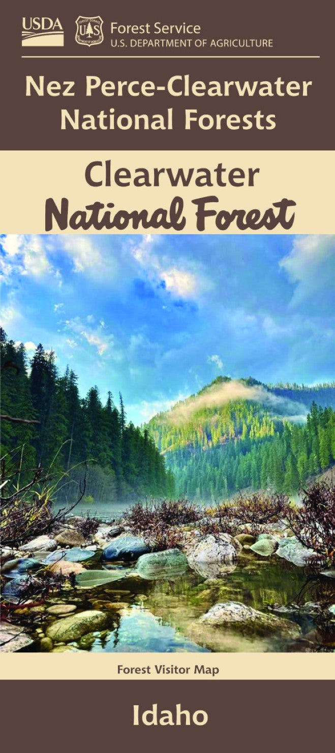
Clearwater National Forest, Idaho Visitor Map
Clearwater National Forest, Idaho Visitor Map
Couldn't load pickup availability
- SKU: USFS_CLEAR_NF_24
Clearwater National Forest Visitor Map – Idaho (2024 Edition, Folded Map)
Includes Selway-Bitterroot Wilderness, Lochsa & Selway Rivers, and MoreNavigate the wild beauty of northern Idaho with the Clearwater National Forest Visitor Map, your essential companion for outdoor recreation in one of the most scenic and adventure-rich regions of the Pacific Northwest. Covering the entire forest area—including parts of the Selway-Bitterroot Wilderness and the Middle Fork of the Clearwater River—this durable, folded map is designed for campers, hikers, anglers, hunters, and off-road explorers alike.
Map Highlights:
- Full Coverage of Clearwater National Forest
- Includes Key Recreation Areas:
- Selway-Bitterroot Wilderness
- Lochsa, Selway, and Clearwater Rivers
- Lolo Pass Scenic Byway (Hwy 12)
- Motorized Use Info: Shows approved routes for ATVs, motorcycles, and off-road vehicles.
- Scale: 1/2 inch = 1 mile — great for planning forest road navigation and river access.
Outdoor Recreation Opportunities:
- Scenic Driving: Travel the winding and picturesque Highway 12 along the Lochsa River to Lolo Pass.
- Hiking & Camping: Discover designated trails, campgrounds, and backcountry sites throughout the forest.
- Fishing & Floating: Access renowned stretches of wild and scenic rivers ideal for fly fishing, rafting, and kayaking.
- Western Access: Explore lesser-traveled forest roads east of Moscow, ID, perfect for quiet getaways and dispersed camping.
Product Details:
- Tear-proof synthetic paper — built to withstand the elements
- Clearly marks land boundaries, roads, trails, rivers, and recreation sites
- Includes motorized use regulations and key access points
- No topographic contour lines
- Useful for Idaho Hunting Units 5, 6, 7, 8, 8A, 9, 10, 10A, 12, 16, and 17
- 2024 Reprint – Updated for current travel regulations and forest data
Whether you’re planning a multi-day rafting trip, scouting for a hunting zone, or just taking a weekend drive along the Lochsa, this official U.S. Forest Service map gives you the confidence to explore the Clearwater safely and responsibly.
Adventure-ready. Tear-resistant. Field-tested.
Add the Clearwater National Forest Visitor Map (2024) to your gear today.- Type: Folded Map
- Subtype: Park
- Language: English
- Publication Date: 2024-06-01
- Scale: 1:126,720
- Regions Covered: North America, North-central U.S./Great Plains
- Countries Covered: United States
- States Covered: Idaho
- ISBN: 9781628110401
- MPN: 115753
- Folded Size: 4" (W) x 9" (H)
- Unfolded Size: 36" (W) x 48" (H)
- Weight: 5.3 oz