1
/
of
1
Guia Roji
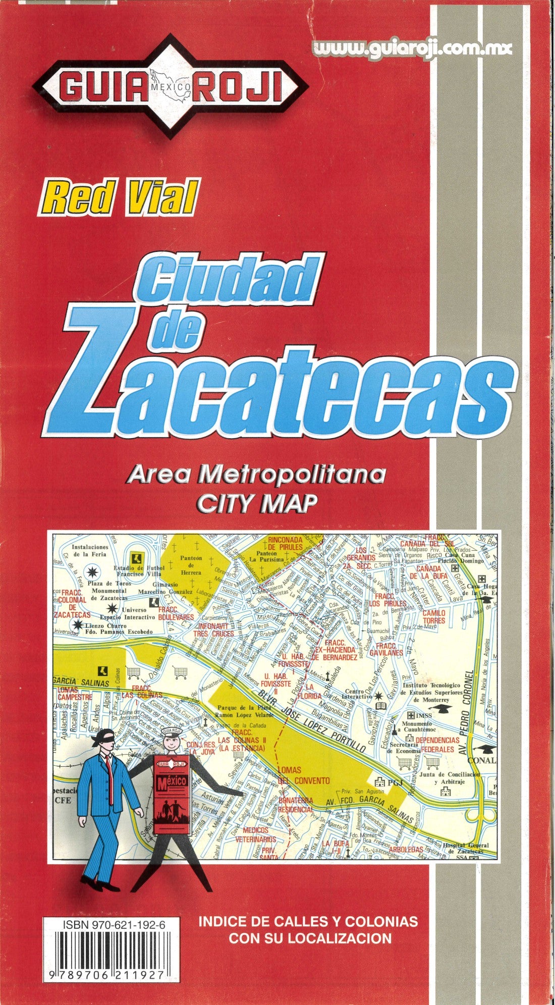
Ciudad de Zacatecas : red vial : 2005
Ciudad de Zacatecas : red vial : 2005
Regular price
$8.95 USD
Regular price
Sale price
$8.95 USD
Unit price
/
per
Shipping calculated at checkout.
Low stock
Couldn't load pickup availability
- SKU: GR_ZACATECAS_4
- Detailed street map of the City of Zacatecas in Mexico. Shows neighborhoods, airports, public buildings, hospitals, department stores, markets, churches, archeological sites, points of interest, museums, libraries, fountains, monuments, universities and secondary schools, zoos, golf courses, sports arenas, parks, and state and municipal boundaries. Scale 1:17,000. Included are indexes of streets and neighborhoods. Also included are inset maps of central Zacatecas City (scale 1:8,500) and central Guadalupe (scale 1:10,000). In Spanish. *Cover art may vary
- Type: Folded Map
- Subtype: Road
- Language: Spanish
- Publication Date: 2004-06-01
- Scale: 1:17,000
- Regions Covered: North America
- Countries Covered: Mexico
- States Covered: Zacatecas
- ISBN: 9789706211927
- Folded Size: 6" (W) x 11" (H)
- Unfolded Size: 26" (W) x 35.5" (H)
- Weight: 2.1 oz


