1
/
of
1
Geographers A-Z Map Co., Ltd.
City of Durham
City of Durham
Regular price
$14.95 USD
Regular price
Sale price
$14.95 USD
Unit price
/
per
Shipping calculated at checkout.
Low stock
Couldn't load pickup availability
- SKU: AZM_DUR_AT_9
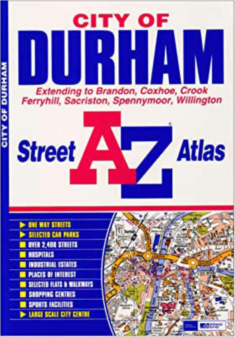
- This atlas contains 29 pages of coloured street mapping that extends from the centre of Durham to Sacriston, Kimblesworth, Pity Me, Carrville, Bowburn, Coxhoe, Kelloe, Ferryhill, Middlestone Moor, Willington, Crook, Brandon, Bearpark and Witton Gilbert. There is also a large scale city centre map of Durham. Postcode districts and one-way streets are featured on the mapping. The index section lists streets, selected flats, walkways and places of interest, place and area names, National Rail stations, hospitals and hospices covered by this atlas.
- Type: Paperback Atlas
- Subtype: Popular/Travel
- Language: English
- Scale: 1:15840
- Regions Covered: British Isles, Europe
- Countries Covered: United Kingdom
- States Covered: England
- ISBN: 9781843486251
- Folded Size: N/A
- Unfolded Size: 8.66" (W) x
- Weight: 3 oz


