Rand McNally
Cincinnati : street map
Cincinnati : street map
Regular price
$8.99 USD
Regular price
Sale price
$8.99 USD
Unit price
per
Shipping calculated at checkout.
Low stock
Couldn't load pickup availability
- SKU: RM_CINC_23
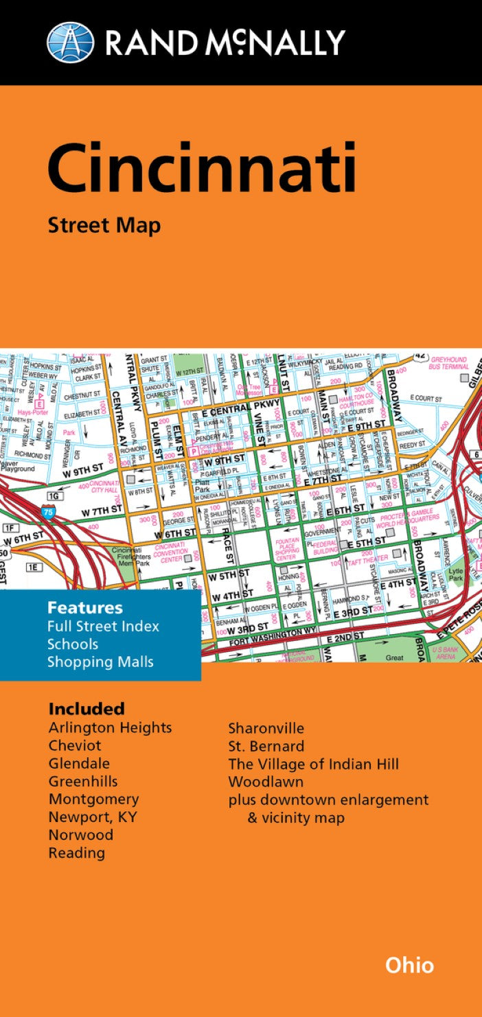
- Rand McNally's folded map for Cincinnati is a must-have for anyone traveling in and around this part of Ohio, offering unbeatable accuracy and reliability at a great price. Our trusted cartography shows all Interstate, U.S., state, and county highways, along with clearly indicated parks, points of interest, airports, county boundaries, and streets. The easy-to-use legend and detailed index make for quick and easy location of destinations. You'll see why Rand McNally folded maps have been the trusted standard for years. Regularly updated full-color maps. Clearly labeled Interstate, U.S., state, and county highways. Indications of parks, points of interest, airports, county boundaries, schools, shopping malls, downtown & vicinity maps. Easy-to-use legend. Detailed index & full street index. Convenient folded size. Communities include: Arlington Heights, Cheviot, Glendale, Greenhills, Montgomery, Newport, Ky, Norwood, Reading, Sharonville, St. Bernard, The Village of Indian Hill, Woodlawn plus downtown enlargement & vicinity map
- Type: Folded Map
- Subtype: City Maps
- Language: English
- Publication Date: 2023-01-01
- Scale: 1:31,680
- Regions Covered: Midwest, North America
- Countries Covered: United States
- States Covered: Ohio
- ISBN: 9780528024726
- UPC: 070609024721
- Folded Size: 3.94" (W) x 9.06" (H)
- Unfolded Size: 26.77" (W) x 39.37" (H)
- Weight: 2 oz