Kiwi Maps
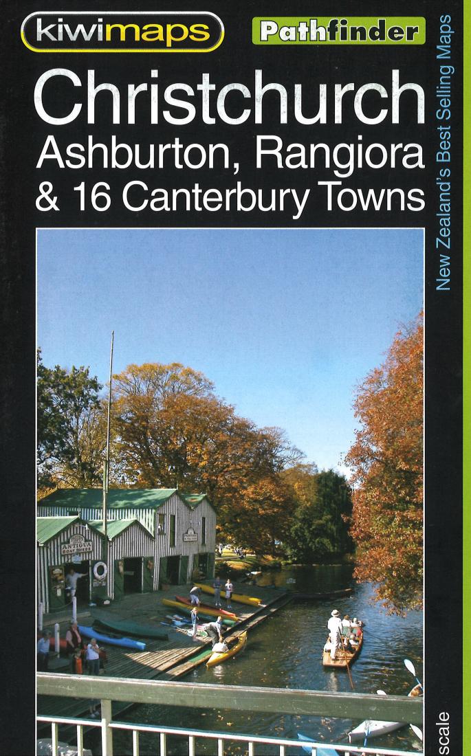
Christchurch : Ashburton, Rangiora & 16 Canterbury towns
Christchurch : Ashburton, Rangiora & 16 Canterbury towns
Regular price
$13.95 USD
Regular price
Sale price
$13.95 USD
Unit price
per
Shipping calculated at checkout.
Couldn't load pickup availability
- SKU: KIWI_CHRIS_
- Christchurch, Ashburton, Rangiora and 16 Canterbury Towns on indexed street plans, with enlargements for the city centre of Christchurch, the city’s airport and the University of Canterbury campus. Coverage of Christchurch itself indicates the Red Zone – the area with restricted access following the 2010 and 2011 earthquakes. On one side is a street plan of Christchurch with its outer suburbs at 1: 25,000, plus an enlargement of the city centre at 1:10,000. Both plans indicate the extent of the restricted entry Red Zone. Also provided are enlargements showing in greater detail the city’s airport and the University of Canterbury campus. Separate panels provide coverage of Ashburton (with an enlargement for the town centre, Rakaia, Kaiapoi, Tai Tapu, Akaroa, Rolleston, Lincoln, Sefton, Rangiora, Woodend, Lyttelton, Governors Bay and Diamond Harbour.
- Type: Folded Map
- Subtype: City Maps
- Language: English
- Publication Date: 2023-06-01
- Scale: Scales differ
- Regions Covered: Australasia, Oceania, Pacific Ocean
- Countries Covered: New Zealand
- ISBN: 9415871000317
- MPN: 105
- Folded Size: N/A
- Unfolded Size: N/A
- Weight: 2.6 oz