Reise Know-How Verlag
China, west = Western China = Chine, ouest = China occidental
China, west = Western China = Chine, ouest = China occidental
Regular price
$14.95 USD
Regular price
Sale price
$14.95 USD
Unit price
per
Shipping calculated at checkout.
Couldn't load pickup availability
- SKU: RKH_CHN_W_14
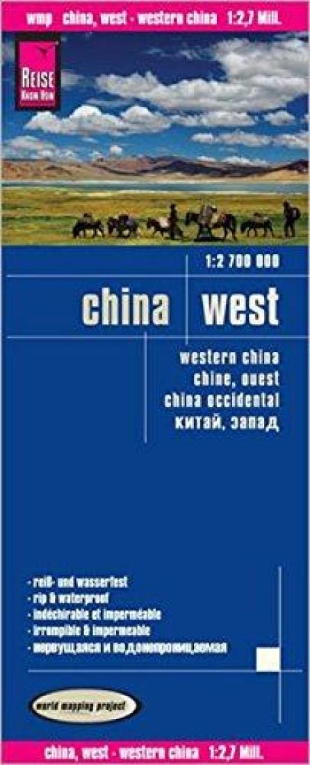
- Western China at 1:2,700,000 on light, waterproof and tear-resistant plastic paper, with both topographic and tourist information. The map, part of Reise Know-How's highly acclaimed "World Mapping Project", is double-sided, to provide the best balance between a good scale and a convenient size sheet. Place names of larger towns are shown both transliterated and in the Chinese script. All other names are in the Latin alphabet only. Within Tibet, many towns and settlements also have alternative local names. Topography is indicated by altitude colouring with spot heights and names of mountain ranges, hills and deserts. Salt lakes, swamps, seasonal rivers and glacier are also shown. Detailed presentation of the road network includes minor roads and tracks. The map also shows the rail network and local airports. Administrative units are shown with their boundaries and names. National parks and other protected areas are highlighted. A wide range of symbols mark various places of interest including the Great Wall of China, UNESCO world heritage sites, temples, museums, spas and hot springs, etc. Latitude and longitude lines are drawn at 2º intervals. The map is indexed and the map legend includes English.
- Type: Folded Map
- Subtype: Road
- Language: English, French, German, Russian, Spanish
- Publication Date: 2014-06-01
- Scale: 1:2700000
- Regions Covered: Asia, East Asia
- Countries Covered: China
- ISBN: 9783831772872
- Folded Size: 4.72" (W) x 9.84" (H)
- Unfolded Size: 39.37" (W) x 27.56" (H)
- Weight: 2.8 oz