Rand McNally
Chicago : regional map
Chicago : regional map
Couldn't load pickup availability
- SKU: RM_CHIC_REG_24
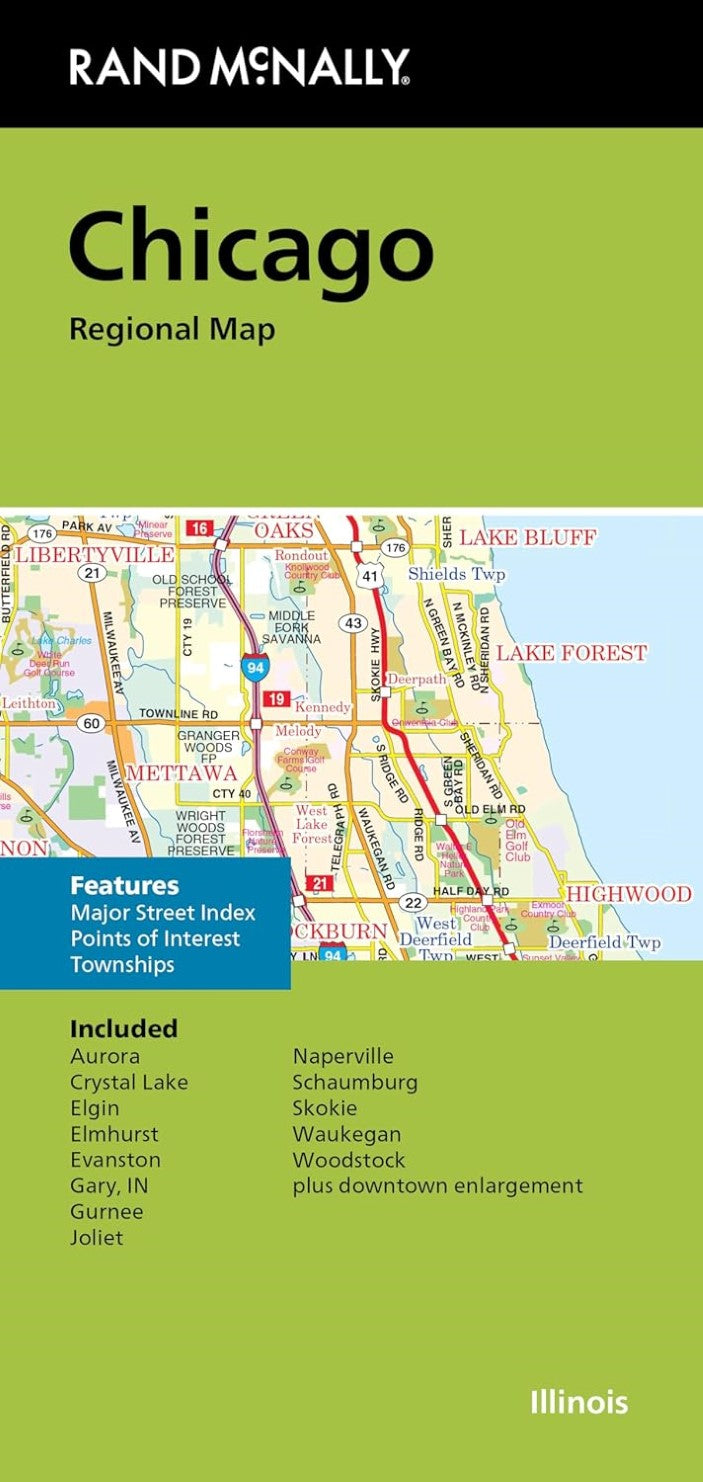
Rand McNally's folded map for Chicago is a must-have for anyone traveling in and around this part of Illinois, offering unbeatable accuracy and reliability at a great price. Our trusted cartography shows all Interstate, U.S., state, and county highways, along with clearly indicated parks, points of interest, airports, county boundaries, and streets. The easy-to-use legend and detailed index make for quick and easy location of destinations. You'll see why Rand McNally folded maps have been the trusted standard for years. Regularly updated Full-color maps Clearly labeled Interstate, U.S., state, and county highways Indications of parks, points of interest, airports, county boundaries, downtown & vicinity maps Major attractions & Golf Courses Easy-to-use legend Detailed index & Major Street Index Convenient folded size Copyright 2024 Coverage Area Communities Included: Aurora, Crystal Lake, Elgin, Elmhurst, Evanston, Gary, IN, Gurnee, Joliet, Naperville, Schaumburg, Skokie, Waukegan, Woodstock plus downtown enlargement Product Details Measures 9.5" x 4" and folds out to 40" x 28".
- Type: Folded Map
- Subtype: City Maps
- Language: English
- Publication Date: 2024-06-01
- Scale: 1:171,000
- Regions Covered: Midwest, North America
- Countries Covered: United States
- States Covered: Illinois
- ISBN: 9780528028410
- UPC: 070609028415
- Folded Size: 4.33" (W) x 9.06" (H)
- Unfolded Size: 39.37" (W) x 27.56" (H)
- Weight: 1.8 oz