1
/
of
1
United States Forest Service
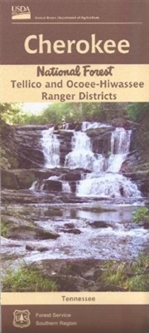
Cherokee National Forest (South) - Tellico and Ocoee-Hiwassee Ranger Districts Map
Cherokee National Forest (South) - Tellico and Ocoee-Hiwassee Ranger Districts Map
Regular price
$19.99 USD
Regular price
Sale price
$19.99 USD
Unit price
/
per
Shipping calculated at checkout.
Low stock
Couldn't load pickup availability
- SKU: USFS_CHERNF_S_16
- Folded waterproof hiking map, scale 1:63,360. With 200-foot contour lines. Tellico Ranger District is located directly south of Great Smoky Mountains National Park and adjacent to Nantahala National Forest in North Carolina. Within this district of Cherokee National Forest, free flowing rivers and creeks cascade from their headwaters through the rugged Unicoi Mountains. The Cherohala Skyway traverses these mountains connecting the Cherokee and Nantahala national forests.
- Type: Folded Map
- Subtype: Park
- Language: English
- Publication Date: 2016-06-01
- Scale: 1:63,360
- Regions Covered: North America, Southern U.S.
- Countries Covered: United States
- States Covered: Tennessee
- ISBN: 9781593516994
- MPN: 516818
- Folded Size: 3.94" (W) x 9.45" (H)
- Unfolded Size: 25.98" (W) x 27.95" (H)
- Weight: 4.5 oz


