1
/
of
1
Rand McNally
Central United States : regional map
Central United States : regional map
Regular price
$7.99 USD
Regular price
Sale price
$7.99 USD
Unit price
/
per
Shipping calculated at checkout.
Couldn't load pickup availability
- SKU: RM_EASY_USA_CENT_21
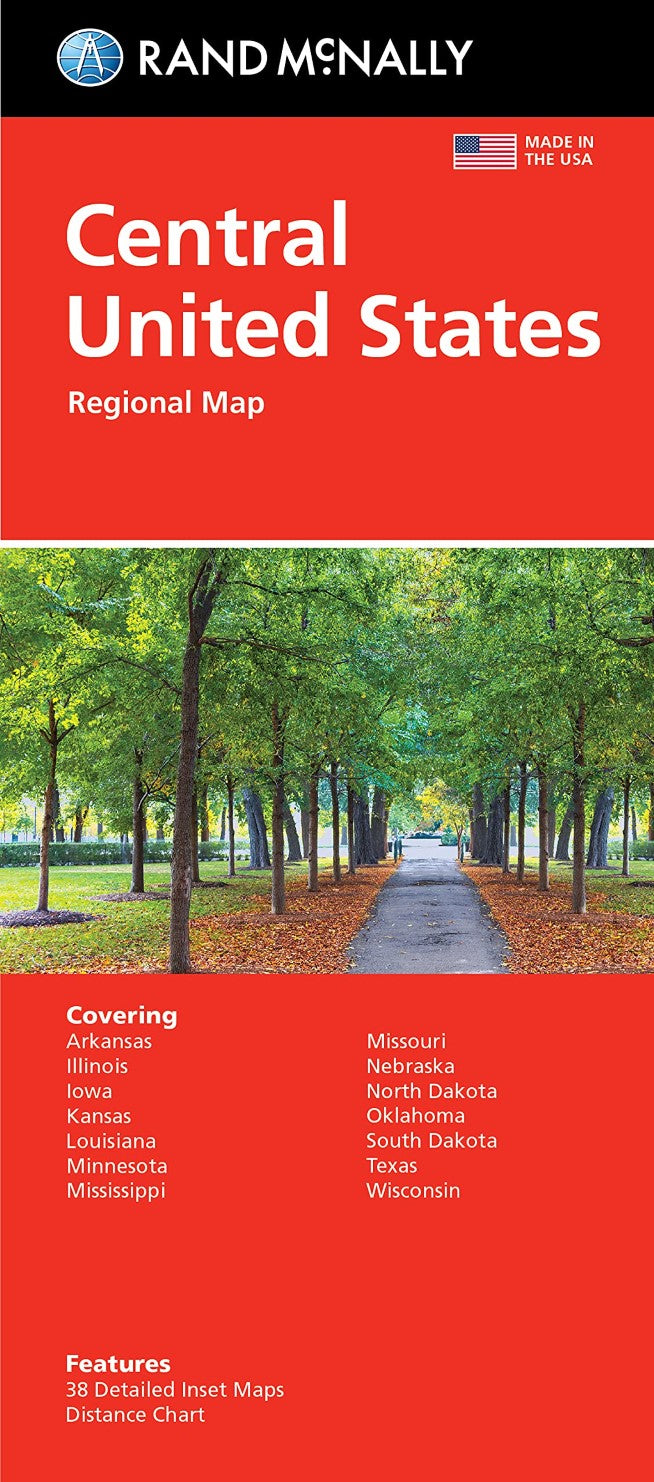
- Rand McNally's folded map featuring the Central United States is a must-have for anyone traveling in and around this part of the country, offering unbeatable accuracy and reliability at a great price. McNally's trusted cartography shows all Interstate, state, and county highways, along with clearly indicated points of interest, airports, county boundaries, and more.
- Type: Folded Map
- Subtype: Road
- Language: English
- Publication Date: 2021-06-01
- Scale: 1:2,724,480
- Regions Covered: Midwest, North America, Southern U.S.
- Countries Covered: United States
- States Covered: Arkansas, Illinois, Iowa, Kansas, Louisiana, Minnesota, Missouri, Nebraska, North Dakota, Oklahoma, South Dakota, Texas, Wisconsin
- ISBN: 9780528024597
- UPC: 07060924592
- Folded Size: 4.33" (W) x 9.45" (H)
- Unfolded Size: 40.16" (W) x 27.95" (H)
- Weight: 1.9 oz


