1
/
of
1
AA Publishing
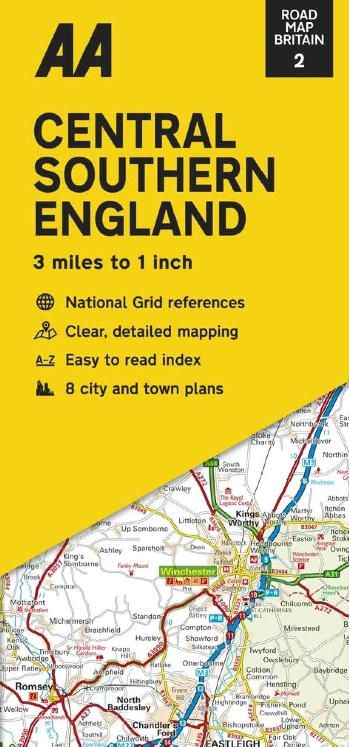
Central & Southern England road map Britain 2
Central & Southern England road map Britain 2
Regular price
$12.99 USD
Regular price
Sale price
$12.99 USD
Unit price
/
per
Shipping calculated at checkout.
Couldn't load pickup availability
- SKU: AAP_GB_2_22
- These are popular maps for the UK, using a combination of the OS and their own cartography. AA's regional road maps use a plain white base to provide an unobtrusive background for the road network and the names of towns and villages. Coloring is used only to show national parks and forest parks. Rivers and lakes are included, but other topographic information is limited to names of selected mountain ranges, peaks and valleys, plus spot heights. Steep roads have gradient signs. Designed as road maps, this series has a clear presentation of the road network, including speed cameras, as well as places of interest shown. Street plans of main towns highlight parking facilities.
- Type: Folded Map
- Subtype: Road
- Language: English
- Publication Date: 2022-06-01
- Scale: 1:200,000
- Regions Covered: British Isles, Europe
- Countries Covered: United Kingdom
- States Covered: England
- ISBN: 9780749582814
- Folded Size: 4.72" (W) x 9.84" (H)
- Unfolded Size: 45.67" (W) x 35.83" (H)
- Weight: 4.2 oz


