Thinknet
Central and Eastern Thailand
Central and Eastern Thailand
Regular price
$22.95 USD
Regular price
Sale price
$22.95 USD
Unit price
per
Shipping calculated at checkout.
Low stock
Couldn't load pickup availability
- SKU: THK_CEN_THAI_14
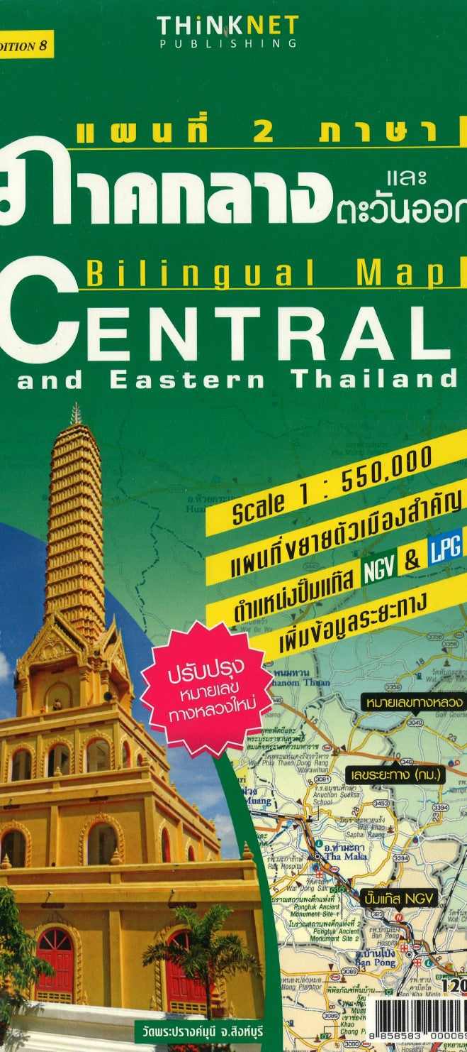
- Central and Eastern Thailand at 1:550,000 in a series of regional road maps of Thailand from the Bangkok based ThinkNet. This title covers Bangkok with the country’s central and south-eastern provinces, plus the top part of the panhandle. An enlargement at 1:166,000 presents the environs of Bangkok within the city’s Outer Ring Road, and street plans cover Kanchanaburi, Lop Buri, Ang Thong, Suphanburi, Phetchaburi, Hua Hin and Prachuap Khiri Khan. All information is bilingual, shown in Thai and English. Road and rail networks are shown on a base with colouring indicating the country’s administrative provinces. The map offers no topographic information beyond rivers and lakes. Road network does not give driving distances but does indicate locations of petrol stations. The map is indexed and has latitude and longitude lines are drawn at intervals of 30’. Map legends are in English. No information is provided outside Thailand’s borders. Both the main map and the city plans have very extensive bilingual overprint highlighting not only various places of interest but also public buildings and/or facilities such as schools, medical centres, etc.
- Type: Folded Map
- Subtype: Road
- Language: English, Thai
- Publication Date: 2014-06-01
- Scale: 1:550,000
- Regions Covered: Asia, Southeast Asia
- Countries Covered: Thailand
- ISBN: 8858583000069
- Folded Size: 4.72" (W) x 9.45" (H)
- Unfolded Size: 27.17" (W) x 34.65" (H)
- Weight: 3.4 oz