1
/
of
1
USSR Ministry of Defense
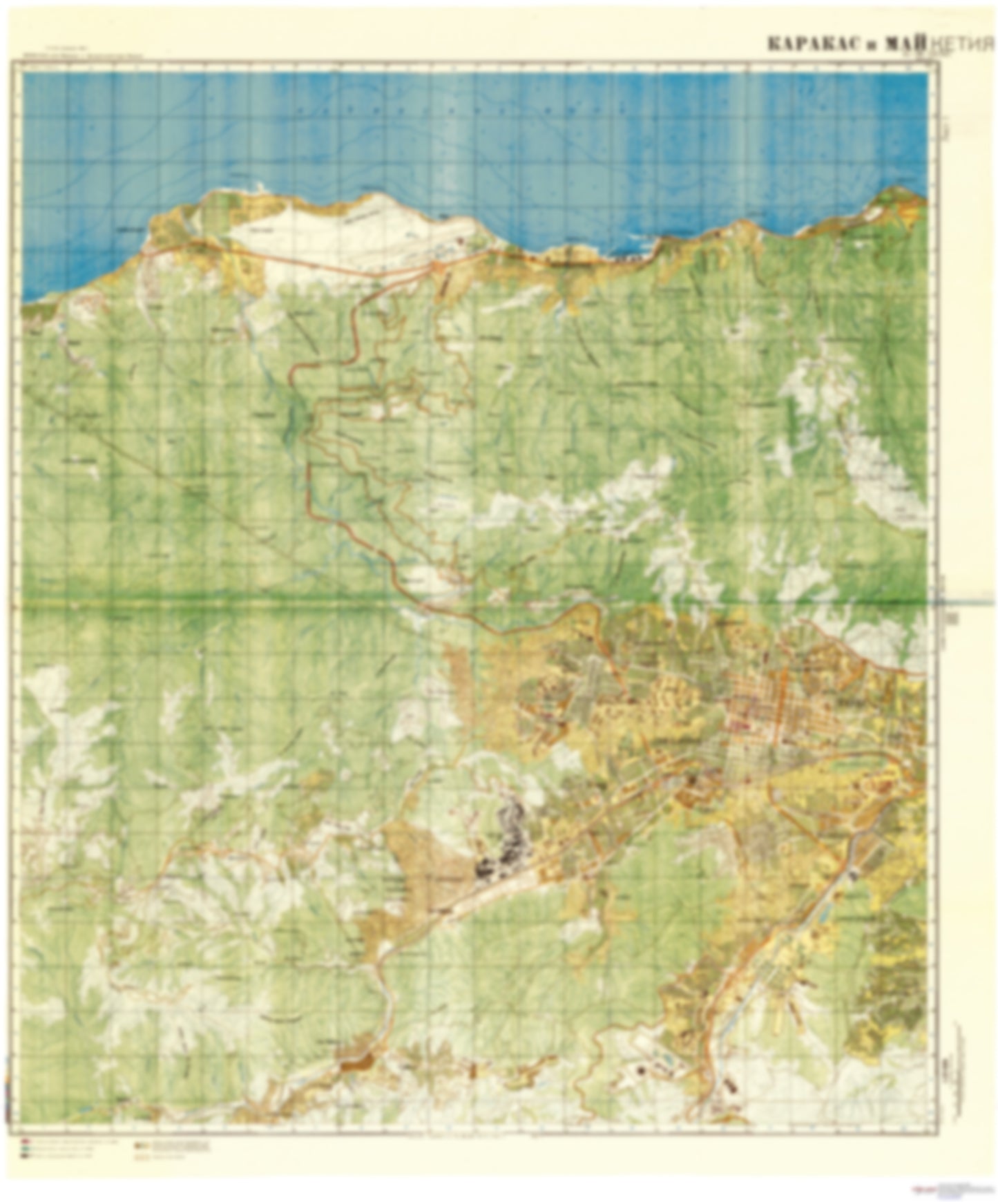
Caracas 1 (Venezuela) - Soviet Military City Plans
Caracas 1 (Venezuela) - Soviet Military City Plans
Regular price
$49.95 USD
Regular price
Sale price
$49.95 USD
Unit price
/
per
Shipping calculated at checkout.
Couldn't load pickup availability
- SKU: SUAA-CARACAS1-P
- During the Cold War and before easy access to high-resolution satellite imagery, The Soviet Military was secretly mapping the entire world. These aesthetically striking maps are beautiful down to the last detail and fantastic wall art and until now, have rarely been viewed or available to outsiders. This series has been covered by Wired Magazine and Greg Miller in his book, "All Over the Map: A Cartographic Odyssey". This map is part of the Soviet City Plans Series presented by East View, which has the largest collection of Soviet Military City Plans in the world. The Soviet Military City Plan(s) of Caracas 1 (Venezuela) is one in a series of highly detailed topographic city maps developed by the USSR Ministry of Defense during the Cold War era. These collectable, high resolution print-on-demand editions are delivered on premium, acid-free, matte paper. This item is sheet number 1 in a set of 2 sheet(s) for Caracas Populated Places: Antimano, Boqueron, Castillo, Coche, Conejo Blanco, Cumare, El Bertazo, Estado La Guaira, Guayabal, Hacienda Santa Rita, La Cachino, La Fundacion, Las Llamadas, Las Mayas, Los Castillitos, Los Cedros, Los Flores, Macarao, Municipio Bolivariano Libertador, Puerta Caracas, Sabanetica, San Jose, San Jose de Galipan, Vallenilla, Vargas Parks and Reservations: Parque Ali Primera, Parque Andres Bello, Parque Aristides Rojas, Parque de Paguita, Parque Ezequiel Zamora, Parque Los Caobos, Parque Miraflores, Parque Nacional El Pinar, Parque Naciones Unidas, Parque Vargas, Plaza Parque Carabobo Landmarks and Natural Features: Alto de Irapa, Alto La Maderita, Cabo Blanco, Cadena del Litoral, Cerro Botijon, Cerro Caracollar, Cerro La Pereza, Cerro Manzanares, Cerro Negro, Cerro Tierra Blanca, El Arrastradero, Loma San Pedro, Montana La Gata, Picacho de Galipan, Punta Calera, Punta El Cojo, Punta Gorda, Punta Mulatos, Topo Buena Vista, Topo Itagua, Universidad Catolica Andres Bello, Velodromo Teo Capriles
- Subtype: City Plan
- Language: Russian
- Publication Date: 1981-06-01
- Scale: 1:25,000
- Countries Covered: Venezuela
- MPN: CARACAS 1
- Folded Size: N/A
- Unfolded Size: 34.9" (W) x 42" (H)
- Weight: 4.8 oz


