NOAA
Cape Canaveral to Key West (11460) by NOAA
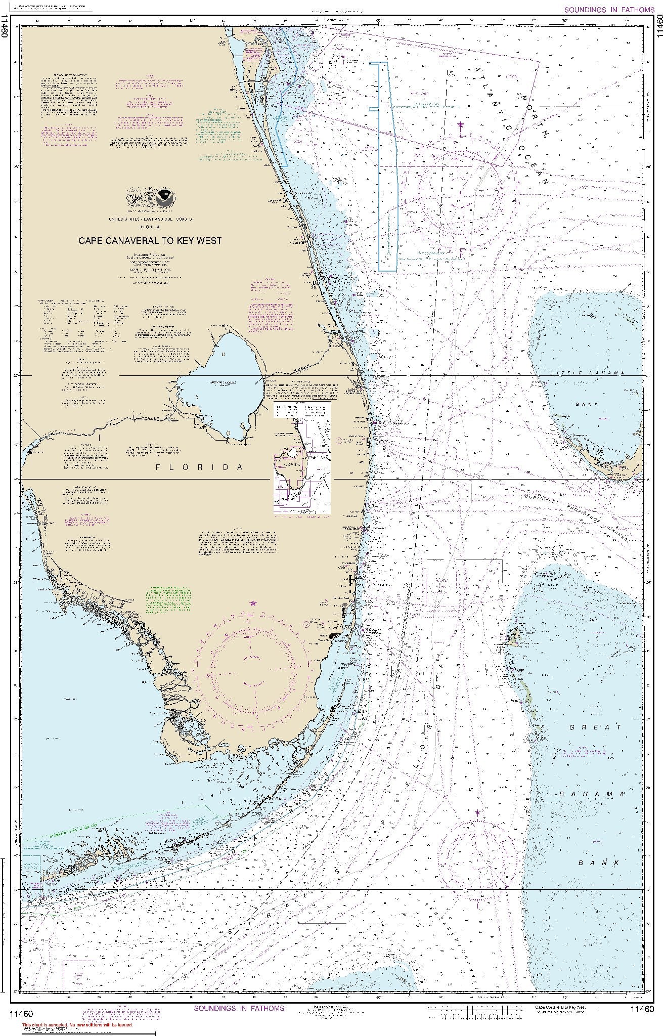
Cape Canaveral to Key West (11460) by NOAA
Regular price
$19.00 USD
Regular price
Sale price
$19.00 USD
Unit price
per
Shipping calculated at checkout.
Couldn't load pickup availability
- SKU: USAC-11460-P
- East View Map Link (EVML), a certified NGA and NOAA print on demand printer provides mariners with historical National Geospatial-Intelligence Agency POD approved nautical charts, using high resolution, heavyweight and acid free paper. All NGA nautical charts ship rolled, and are printed by East View Map Link, LLC. Magnetic variation provided; Bathymetry by contours at intervals as small as 2 meters with spot depth in meters; shallow coastal water in blue; lighthouses, buoys, wrecks, submerged and awash rocks, obstructions, submarine cables, pipelines, islands, and islets shown; Larger-scale maps in the series show shore characteristics (sandy, rocky, cliffs), bridges, and harbor features (piers, wharfs, jetties, breakwaters).
- Type: Flat Map
- Subtype: General Nautical
- Language: English
- Publication Date: 2018-09-01
- Scale: 1:466,940
- Countries Covered: Bahamas, United States
- States Covered: Florida
- MPN: 11460
- Folded Size: N/A
- Unfolded Size: 30.52" (W) x 47.13" (H)