1
/
of
1
International Travel Maps
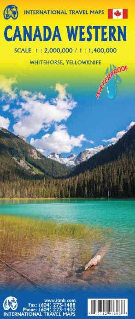
Canada Western Travel Map
Canada Western Travel Map
Regular price
$12.95 USD
Regular price
Sale price
$12.95 USD
Unit price
/
per
Shipping calculated at checkout.
Low stock
Couldn't load pickup availability
- SKU: ITM_CAN_W_17
- British Columbia, Alberta, and the Yukon have been mapped from fresh digital data and presented at 1:1.4T scale. Roads are shown, but the new road under construction north of Inuvik is being created under extremely trying circumstances, and until it is open to traffic, ITMB has opted to show it as a winter road only. Once this marvel of tundra engineering is open for vehicle use, it will be possible to drive from the Arctic Ocean to the Panama Canal.
- Type: Folded Map
- Subtype: Travel
- Language: English
- Publication Date: 2017-06-01
- Scale: 1:2,000,00
- Regions Covered: North America
- Countries Covered: Canada
- States Covered: Alberta, British Columbia
- ISBN: 9781771291606
- UPC: 817712916068
- Folded Size: 3.94" (W) x 9.45" (H)
- Unfolded Size: 38.98" (W) x 26.77" (H)
- Weight: 2.7 oz


