Hema Maps
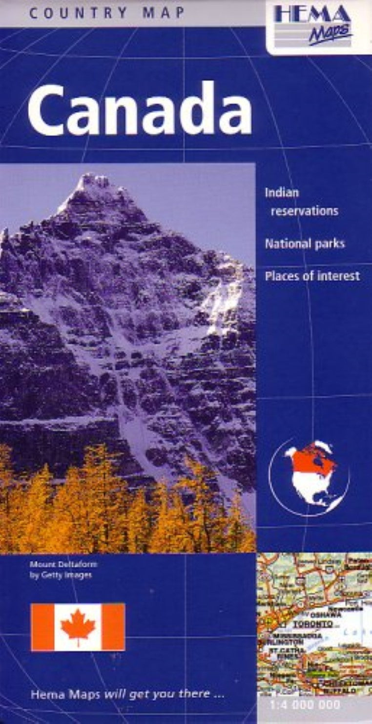
Canada : country map : Indian reservations : national parks : places of interest
Canada : country map : Indian reservations : national parks : places of interest
Regular price
$12.95 USD
Regular price
Sale price
$12.95 USD
Unit price
per
Shipping calculated at checkout.
Couldn't load pickup availability
- SKU: HEMA_CAN_6
- Road & travel map of Canada with shaded relief in subtle colors. Distinguishes 5 kinds of roads from expressways to tracks, shows road numbers and distances in kilometers. Shows railways, airports, provincial and time zone boundaries, mountain passes car ferries, and railway ferries. Locates national parks, restricted areas, Indian reservations, and places of interest. Legend also in Dutch, Czech, Polish. Scale 1;4,000,000. Paper map, printed on one side and attached to a protective hard cover.
- Type: Folded Map
- Subtype: Road
- Language: English, German
- Publication Date: 2006-06-01
- Scale: 1:4,000,000
- Regions Covered: North America
- Countries Covered: Canada
- States Covered: Alberta, British Columbia, Manitoba, New Brunswick, Northwest Territories, Nova Scotia, Nunavut, Ontario, Quebec, Saskatchewan, Yukon
- ISBN: 9781865002699
- Folded Size: 9.84" (W) x 5.12" (H)
- Unfolded Size: 38.58" (W) x 53.94" (H)
- Weight: 5.3 oz