1
/
of
1
MapArt Publishing Corporation
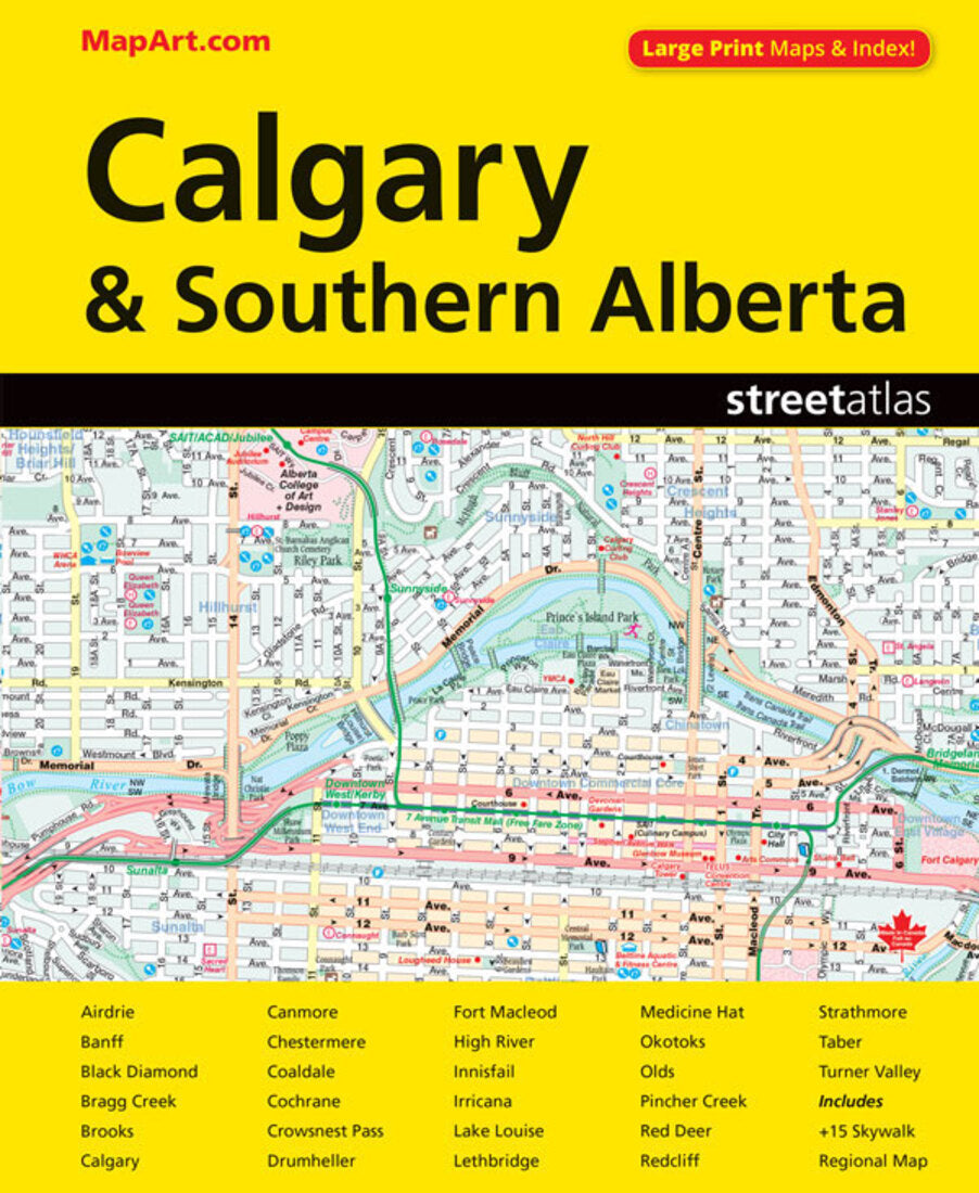
Calgary and Southern Alberta Street Atlas (Large Print)
Calgary and Southern Alberta Street Atlas (Large Print)
Regular price
$24.95 USD
Regular price
Sale price
$24.95 USD
Unit price
/
per
Shipping calculated at checkout.
Couldn't load pickup availability
- SKU: CCC_ALB_CAL_AT_22
- It’s the definitive auto companion for travel in this area, whether you are a resident or short-term visitor. It’s got all the features to make even the unfamiliar areas easy to navigate. Inside this 152 page atlas you will find locator maps, feature listings (points of interest, hospitals, airports, golf clubs and universities and colleges), downtown Calgary map (1:10,000), regional maps (1:250,000), city maps (1:21,000), Alberta distance chart and a detailed street index. City mapping includes Airdrie, Banff, Black Diamond, Bragg Creek, Brooks, Calgary, Canmore, Chestermere, Coaldale, Cochrane, Crowsnest Pass, Drumheller, Fort Macleod, High River, Innisfail, Irricana, Lake Louise, Lethbridge, Medicine Hat, Okotoks, Olds, Pincher Creek, Red Deer, Redcliff, Strathmore, Taber and Turner Valley. The detailed city map features include divided highways, major roads, secondary roads, main thoroughfares, minor streets, lanes / private streets, interchange numbers, one way streets, street address numbers, trans-canada highway—yellowhead route, railways, VIA Rail stations, C Train, bus only streets, municipal boundaries, recreation trails, parks / conservation areas, golf courses, commercial areas, cemeteries, institutional areas, industrial areas, special attraction areas, Indian reserves, National Defence areas, hospitals, tourist information centres, police stations, fire halls, libraries, points of interest, off leash dog parks, national parks / historic sites, arenas, community / recreation centres, pools, baseball, soccer, tennis, skiing, campgrounds, public and catholic schools The detailed regional map features include expressways and roads including highways, roads, paved and unpaved roads, unimproved roads, seasonal roads and more. Other map features include airports, hospitals,tourist information centres, rest areas, skiing, golf courses, points of interest, landmarks, campgrounds, peaks, National parks, provincial parks, Indian reserves, populations and much more.
- Type: Paperback Atlas
- Subtype: Popular/Travel
- Language: English
- Publication Date: 2022-06-01
- Scale: Scales differ
- Regions Covered: North America
- Countries Covered: Canada
- States Covered: Alberta
- ISBN: 9781554862146
- UPC: 061158012147
- MPN: 1214
- Folded Size: N/A
- Unfolded Size: 11.02" (W) x 8.66" (H)
- Weight: 13.5 oz


