1
/
of
1
GM Johnson
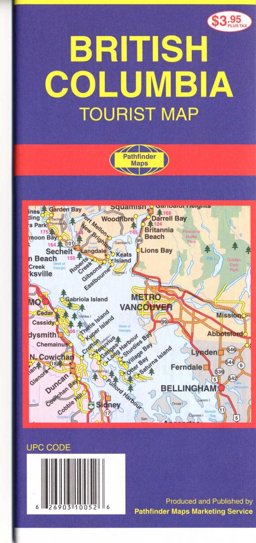
British Columbia : tourist map
British Columbia : tourist map
Regular price
$3.95 USD
Regular price
Sale price
$3.95 USD
Unit price
/
per
Shipping calculated at checkout.
Couldn't load pickup availability
- SKU: GMJ_BC_1
- Folded area map of BC with Queen Charlotte Islands. One side contains BC with insets for metro Vancouver, Victoria area, and Nanaimo area, with distance chart and index. Reverse contains space to write your own travel notes, chart of parks, inset of Alaska to Northwest Territories, and a map covering Glacier Bay to Wembley.
- Type: Folded Map
- Subtype: Road
- Language: English
- Publication Date: 2001-06-01
- Scale: 1:1,300,000
- Regions Covered: North America
- Countries Covered: Canada
- States Covered: Alaska, British Columbia, Northwest Territories
- ISBN: 9781894056298
- Folded Size: 4.33" (W) x 9.06" (H)
- Unfolded Size: 26.77" (W) x 38.78" (H)
- Weight: 1.5 oz


