International Travel Maps
British Columbia South Travel Map
British Columbia South Travel Map
Couldn't load pickup availability
- SKU: ITM_BRIT_COL_S_26
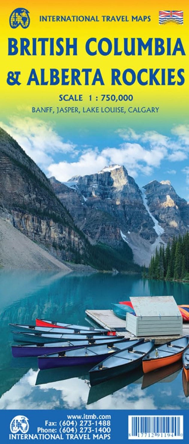
This road map of British Columbia covers the area between Vancouver and Calgary, and is the perfect tourist map for exploring the Rocky Mountain region. All roads and railways between the two cities are shown, as are campsites and parks.
Indexed double-sided road map of the southern part of British Columbia, extending from Vancouver Island to Calgary to cover the whole of the Banff and Jasper National Parks, with plans of downtown Vancouver and Victoria. Coverage northwards extends to include the southern part of Haida Gwai Island and Prince Rupert along the coast, as well as Fort St. John near the border with Alberta. The map has altitude colouring, indicates national parks and other protected areas and highlights numerous camping areas and recreational facilities. Road network includes paved and rough roads and 4WD tracks and indicates locations of petrol stations. The map is indexed and has latitude and longitude lines at intervals of 1º.
Also included are insets with street plans of downtown Vancouver and Victoria, highlighting selected accommodation and various facilities.
- Type: Folded Map
- Subtype: Travel
- Language: English
- Publication Date: 2026-06-01
- Scale: 1:800,000
- Regions Covered: North America
- Countries Covered: Canada
- States Covered: British Columbia
- ISBN: 9781771291156
- Folded Size: 3.94" (W) x 9.84" (H)
- Unfolded Size: 38.98" (W) x 27.17" (H)
- Weight: 3.3 oz