1
/
of
1
AA Publishing
Britain : Road Map Britian #10
Britain : Road Map Britian #10
Regular price
$10.99 USD
Regular price
Sale price
$10.99 USD
Unit price
/
per
Shipping calculated at checkout.
Couldn't load pickup availability
- SKU: AAP_GB_10_14
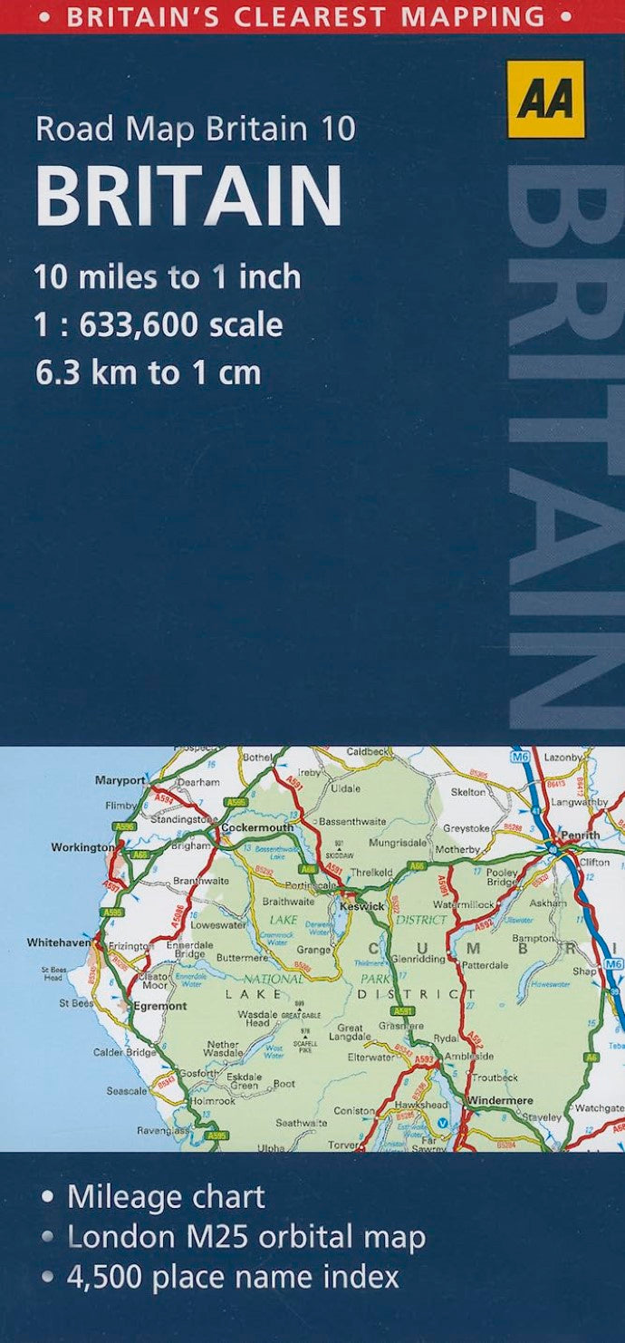
- This map features roads, services areas, tolls, cities and towns, parks, rivers, lakes, places of interest. Driving distance chart, index, and M25 orbital map included.
- Type: Folded Map
- Subtype: Road
- Language: English
- Publication Date: 2014-06-01
- Scale: 1:633,600
- Regions Covered: British Isles, Europe
- Countries Covered: United Kingdom
- States Covered: England, Northern Ireland, Scotland, Wales
- ISBN: 9780749574703
- MPN: 10
- Folded Size: 4.75" (W) x 9.75" (H)
- Unfolded Size: N/A
- Weight: 3 oz


