Freytag & Berndt
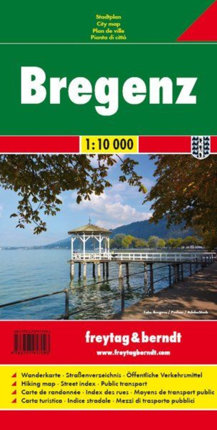
Bregenz, city map 1:10,000
Bregenz, city map 1:10,000
Regular price
$11.95 USD
Regular price
Sale price
$11.95 USD
Unit price
per
Shipping calculated at checkout.
Low stock
Couldn't load pickup availability
- SKU: FB_BREGENZ_17
- Indexed street plan of Bregenz extending north along the Bodensee coast to Lochau and Unter Hochsteg. Detail includes pedestrianised areas, railways, bus routes and cycle paths. Notable buildings are highlighted in red, and symbols indicate post offices, hostels, campsites and car parks. On the reverse is a 1:50,000 contoured map of the Bregenzerwald region to the south-east of the town, as far as Bezau & Winterstaude. Roads, railways, ski-lifts and cable cars are shown, along with ski trails, cycle paths, and walking routes including the E4 and E5. Additional symbols show landmarks and tourist features eg. hostels, mountain cabins, churches, ruins, spas, bus stops, etc.
- Type: Folded Map
- Subtype: City Maps
- Language: English, French, German, Italian
- Publication Date: 2017-03-07
- Scale: 1:10000
- Regions Covered: Central Europe, Europe
- Countries Covered: Austria
- ISBN: 9783707917093
- MPN: PL 147
- Folded Size: 3.93" (W) x 7.86" (H)
- Unfolded Size: 3.93" (W) x 7.86" (H)
- Weight: 1.06 oz