1
/
of
1
Blay Foldex
Bordeaux Blay-Foldex Street Plan
Bordeaux Blay-Foldex Street Plan
Regular price
$14.95 USD
Regular price
Sale price
$14.95 USD
Unit price
/
per
Shipping calculated at checkout.
Couldn't load pickup availability
- SKU: BLAY_BORDEAUX_19
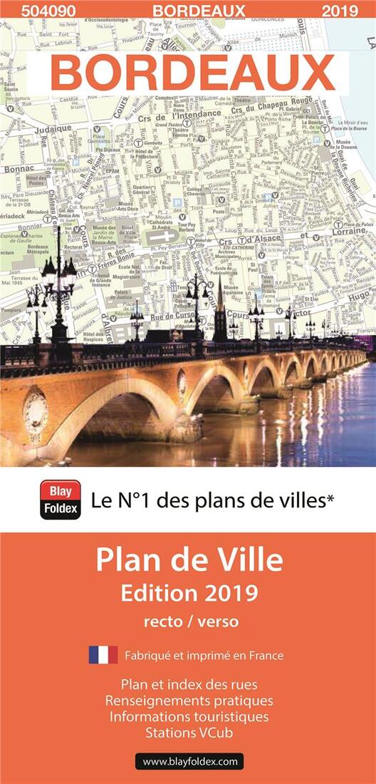
- This title is part of an extensive series of street plans of French towns from Blay-Foldex, the country’s largest, oldest and most experienced publisher of urban mapping.
Blay plans include outer suburbs and, where appropriate, adjoining localities forming part of the urban agglomeration and provide brief descriptions of the town’s main sights, contact details for hotels and other places of interest, etc. The plans show one way streets, car parks and pedestrian zones. Important public buildings are clearly marked and identified. Blay street maps are usually double-sided and include an enlargement for the town centre and a street index with separate lists of “edifices publics”: main public buildings, places of worship, schools, sport facilities, stations, etc. Each of the outer suburbs or the adjoining localities, identified with its postcode, has a separate index. Many titles also provide a road map of the environs. All the text is in French only. - Type: Folded Map
- Subtype: Road
- Language: French
- Publication Date: 2019-07-04
- Regions Covered: Europe, Western Europe
- Countries Covered: France
- ISBN: 9782309504090
- Folded Size: 4" (W) x 8.5" (H)
- Unfolded Size: N/A
- Weight: 1 oz


