1
/
of
1
Frankos Maps Ltd.
Blue Ridge Parkway Wall Map
Blue Ridge Parkway Wall Map
Regular price
$14.99 USD
Regular price
Sale price
$14.99 USD
Unit price
/
per
Shipping calculated at checkout.
Low stock
Couldn't load pickup availability
- SKU: FM_BLUE_RIDGE_WA_23
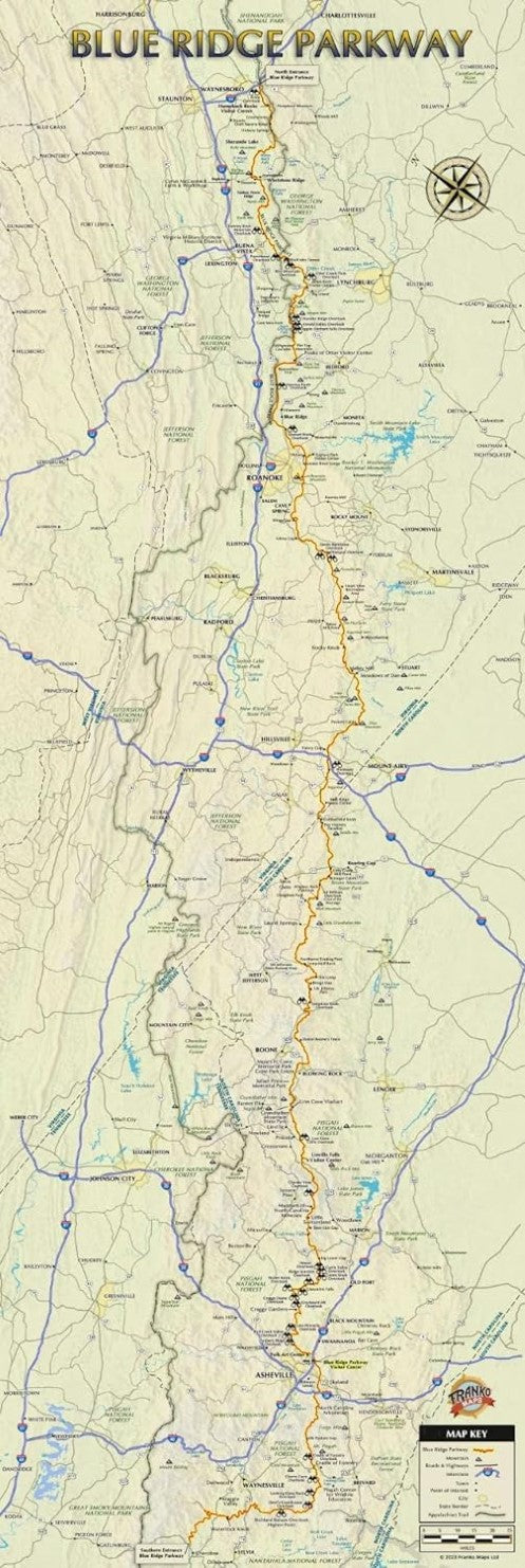
Decorative and detailed map of the entire Blue Ridge Parkway of Virginia and North Carolina, the longest linear park in the United States. Shows towns, mountains, lakes and rivers, overlooks, points of interest, the Appalachian Trail, roads and highways. Printed on quality poster paper; ships rolled. Measures 12" x 36" and fits standard frames.
- Type: Wall Map
- Subtype: Park
- Language: English
- Publication Date: 2023-06-01
- Regions Covered: North America, Southern U.S.
- Countries Covered: United States
- States Covered: North Carolina, Virginia
- ISBN: 9781601905864
- Folded Size: N/A
- Unfolded Size: 12" (W) x 36" (H)
- Weight: .15 lb


