1
/
of
1
International Travel Maps
BC's Coastal Recreation Heartland Map Pack
BC's Coastal Recreation Heartland Map Pack
Regular price
$33.95 USD
Regular price
Sale price
$33.95 USD
Unit price
/
per
Shipping calculated at checkout.
Low stock
Couldn't load pickup availability
- SKU: ITM_BC_MP_
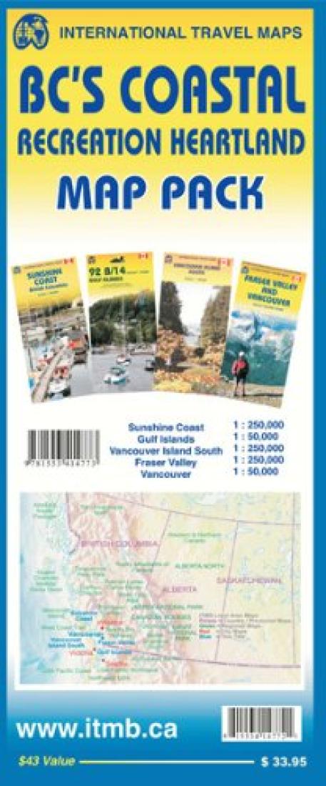
- The BC's Coastal Recreation Heartland Map Pack includes four maps: Sunshine Coast, Gulf Islands, Vancouver Island South, and Fraser Valley & Vancouver. The Fraser Valley & Vancouver map provides coverage of Fraser Valley, which is the heartland for recreational activity in the region. Stretching east to Princeton and north to Whistler, this map encompasses most of the places Vancouverites go on a weekend, including Stave Lake, Harrison Lake, the Chilliwack Valley, Manning Park, the Stein, and Whistler/Brandywine/Pemberton. It shows hiking trails, camping sites, golf courses, boat launches, and biking areas at 1:250,000 scale. The Sunshine Coast map provides coverage of the area, which is available only by ferry. The coastal region is accessible by road as far as Lund/Powell River, and the northern Gulf Islands of Texada, Denman, and Hornby are included, as well as the Desolation Sound and Bute Inlet areas. Most of this great wilderness area is accessible only by boat and is immensely popular with kayakers. There are a great number of logging roads for hiking, but most connect with water, not mainline roads. This is an almost pristine wilderness area stretching northwards to the great Waddington Glacier and the vast Homathko Icefield. The eastern edge of the map follows the Sea to Sky Highway north along Howe Sound to Whistler and includes such popular hiking areas as Garibaldi Lake, Cheakamus, and Callaghan Lake. The third map covers the extremely popular Gulf Islands of the Strait of Georgia. This double-sided map on waterproof paper covers Saltspring, Galiano, Pender, and Saturna Islands on one side and Gabriola, along with the Nanaimo portion of Vancouver Island, on the other side. The Gulf Islands are renowned bicycling and weekend B&B areas. This map is another Canada Map Office survey map overlaid with recreational activities. The final map covers the southern half of Vancouver Island and is also printed on waterproof plastic. The island itself, as large as many countries, offers a wealth of recreational opportunities, from the lovely city of Victoria, the capital of BC to back roads adventures all over the island to the wilderness hiking trails of the West Coast and Juan d Fuca regions.
- Type: Folded Map
- Subtype: Travel
- Language: English
- Scale: Scales differ
- Regions Covered: North America, Pacific Ocean
- Countries Covered: Canada
- States Covered: British Columbia
- ISBN: 9781553414773
- Folded Size: 5.91" (W) x 12.99" (H)
- Unfolded Size: 38.98" (W) x 27.17" (H)
- Weight: 9 oz


