Freytag & Berndt
Bavaria South road + leisure map 1:200 000 : upper- and lower Bavaria, Swabia
Bavaria South road + leisure map 1:200 000 : upper- and lower Bavaria, Swabia
Regular price
$19.95 USD
Regular price
Sale price
$19.95 USD
Unit price
per
Shipping calculated at checkout.
Couldn't load pickup availability
- SKU: FB_D_1_20
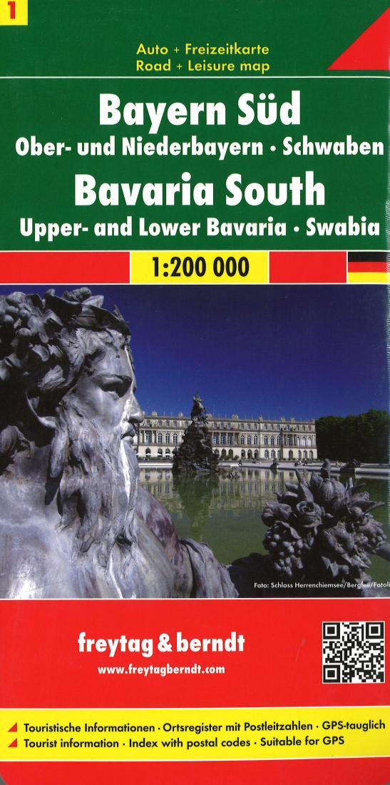
- Explore the central-south of Bavaria with this Freytag&Berndt double-sided road map. The best way to plan your trip, prepare your itinerary, and to travel independently in this part of Regensburg, Nurnberg, Augsburg, Munich (Munchen), Garmisch-Partenkirschen and Passau. The map highlights picturesque towns and national parks, with a range of symbols marking campsites, youth hostels, museums, spas, various landmarks and places of interest. As with all Freytag & Berndt maps the cartography is clear and detailed with the topography shown by relief shading with plenty of spot heights. A localities index with postcodes is in a small booklet attached to the cover and the legend is in various languages including English.
- Type: Folded Map
- Subtype: Travel
- Language: English, German
- Publication Date: 2020-06-01
- Scale: 1:200,000
- Regions Covered: Central Europe, Europe
- Countries Covered: Germany
- ISBN: 9783707904475
- Folded Size: 5.12" (W) x 10.24" (H)
- Unfolded Size: 33.86" (W) x 48.43" (H)
- Weight: 6.5 oz