1
/
of
1
Michelin Maps and Guides
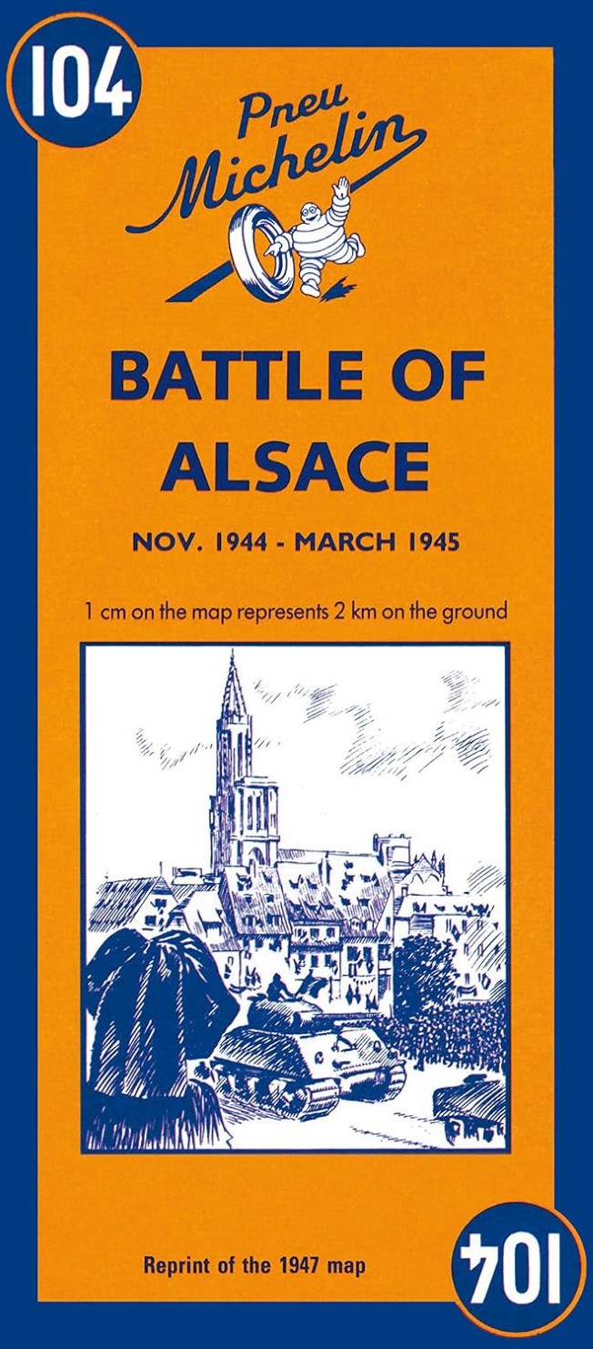
Battle of Alsace: November 1944 to March 1945
Battle of Alsace: November 1944 to March 1945
Regular price
$10.95 USD
Regular price
Sale price
$10.95 USD
Unit price
/
per
Shipping calculated at checkout.
Couldn't load pickup availability
- SKU: M_104_15
- Recognized for more than a century for clarity, accuracy and detail even the military has relied on Michelin maps Michelin offers over 200 selections for cities, regions and countries in North America, Europe, Africa and Asia. In-house cartographers, or mapmakers, produce each map and atlas and leave no stone unturned. Everything from major roads to the tiniest routes is depicted on Michelin's maps to allow travelers to go off the beaten path with confidence.
What makes Michelin maps and atlases stand out? Michelin maps are frequently updated and specifically designed with travelers in mind. Michelin's cartography, user-friendly format and cross-referencing abilities with its renowned guidebook collections are paramount.
The clear, clean and uncluttered style of Michelin maps is compounded with extreme attention to detail covering scenic roads, footpaths, panoramic views, emergency telephones, road widths and more. It's this kind of detail that can, for example, help North American tourists avoid surprises while traveling down narrow roads that are often hundreds of years old. Buildings, monuments, park trails and government offices are highlighted, too.
When it comes to ease of use, Michelin has really done its homework. Michelin maps and the patented Michelin fold make it a snap to refold, even with one hand on the wheel. All Michelin atlases are available in spiral format, too. That's the number one binding preference according to independent consumer research.
Michelin's unique cross-referencing system also makes mapping out travelers trips a cinch. Maps and guides throughout the Michelin collection work together with universal symbols directing to more information. Michelin map outlining the region. - Type: Folded Map
- Subtype: Historical
- Language: English
- Publication Date: 2015-07-01
- Regions Covered: Europe, Western Europe
- Countries Covered: France
- ISBN: 9782067002647
- MPN: 104
- Folded Size: 4.5" (W) x 9.81" (H)
- Unfolded Size: 19.69" (W) x 56.3" (H)


