Fish-n-Map Company
Banks Lake & Lake Washington Fishing Map
Banks Lake & Lake Washington Fishing Map
Couldn't load pickup availability
- SKU: FNM_BANKS_LAK_21
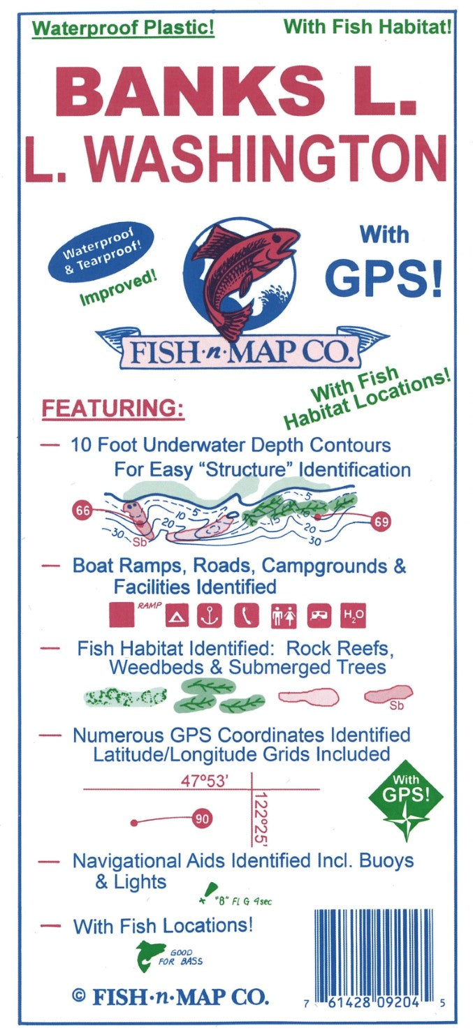
Fish-N-Map Company underwater topography maps are printed on a waterproof, tear-resistant material and are folded to 9" x 4". When opened, each map is approximately 3' x 2' in size and is printed on both sides. These maps feature waterproof plastic "paper"; underwater depth contours; fish locations; latitude and longitude for GPS; often multiple lakes on one map; boat ramps; recreational facilities; and much more.
UPDATED MARCH 2021
Added highlights to the submerged weedbeds
Added onshore trees and brush
UPDATED FEBRUARY 2018
• Updated the GPS Locations on both Banks Lake and Lake Washington
• Updated the Fishing Suggestions and added a Fishing Strategy for Banks Lake
• Map is scaled using NAD 83 for the datum
• A third color has been added to the map (green)
Features:
10-foot Underwater Depth Contours for easy Structure Identification
Fish Habitat Identified (Rock Reefs, Weedbeds & Submerged Trees)
Numerous Fishing Suggestions
GPS Coordinates Provided, Latitude & Longitdue Grids Included
Boat Ramps, Roads, Campgrounds and Facilities Identified
PRINTED ON A WATERPROOF, TEAR-RESISTANT PLASTIC- Type: Folded Map
- Subtype: Fishing
- Language: English
- Publication Date: 2021-06-01
- Scale: Scale not provided
- Regions Covered: North America, Northwestern U.S.
- Countries Covered: United States
- States Covered: Washington
- UPC: 761428092045
- Folded Size: 4" (W) x 9" (H)
- Unfolded Size: 36" (W) x 24" (H)
- Weight: 2.9 oz