Gem Trek
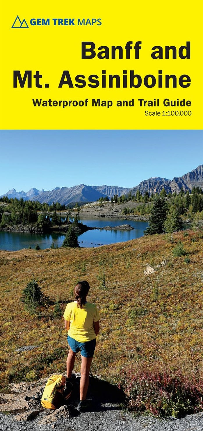
Banff & Mount Assiniboine Waterproof Map and Trail Guide
Banff & Mount Assiniboine Waterproof Map and Trail Guide
Couldn't load pickup availability
- SKU: GEM_BANF_25
Waterproof and tear-resistant hiking and recreation map for the Banff and Mount Assiniboine regions of the Canadian Rockies.
Gem Trek's 1:100,000 Banff and Mount Assiniboine Map is designed for outdoor enthusiasts looking to explore the southern portion of Banff National Park and Mount Assiniboine Provincial Park. Whether you are touring along the roads or heading into the backcountry of Mount Assiniboine, you'll find the Banff and Mount Assiniboine Map to be an invaluable tool. It features detailed cartography, accurate hiking trails with distances, and details such as campgrounds, day use areas, and lookouts. On the back are descriptions of the most popular hiking trails, including detailed descriptions of all access routes into Mount Assiniboine Provincial Park.
Map specs
Edition: 10th
Scale: 1:100,000
Folded size: 4.5 x 9.5 inches
Flat size: 27 x 39 inches
Paper: Waterproof and tear-resistantMap coverage
The Banff & Mount Assiniboine Map covers the southern portion of Banff National Park from Lake Louise in the north. It also includes the southern portion of the remote eastern region of Banff National Park, including trails through the remote Johnston Creek, Cascade, and Forty Mile Valleys. Popular hiking trails on the Banff & Mount Assiniboine map include Arnica Lake, Twin Lakes, Johnston Canyon, Shadow Lake, Bourgeau Lake, Sunshine Meadows, Cascade Amphitheatre, Aylmer Pass, and Spray River Loop. This map is particularly useful for visitors heading to Mount Assiniboine Provincial Park (British Columbia), which is only accessible by hiking trail or helicopter. The front of the map includes coverage of all hiking trails leading into Mount Assiniboine, including from Mount Shark, Sunshine Meadows, and Highway 93.
A 1:50,000-scale inset map on the back increases coverage of Mount Assiniboine Provincial Park, with day hikes from Lake Magog including to Wonder Pass, Windy Ridge, The Nub, and Sunburst Valley.
Map features
The Banff and Mount Assiniboine Map features:
- waterproof and tear-resistant paper
- contour lines at 25-metre (80-foot) intervals
- relief shading to better show the topography
- full colour on both sides
- hiking trails with trail names and trail distances marked
- mountain biking trails with trail names and distances marked
- hydrology rivers, rapids and waterfalls
- mountain names and all available mountain elevations
- all campgrounds with a handy chart showing campground details
- points of interest and attractions as well as day use areas and highway viewpointsAbout Gem Trek Maps: Gem Trek was founded in the early 1990s with the publication of maps to the Kananaskis Country region of the Canadian Rockies. Today, with over 1,000,000 maps sold, we remain a vibrant, proudly independent map publisher specializing in producing Canadian Rockies maps. Our cartographers, writers, and photographers are all locals, who love the outdoors and enjoy the challenge of producing the very best maps possible.
- Type: Folded Map
- Subtype: Park
- Language: English
- Publication Date: 2025-05-01
- Scale: 1:100,000
- Regions Covered: North America
- Countries Covered: Canada
- States Covered: Alberta, British Columbia
- ISBN: 9781990161179
- Folded Size: 4.5" (W) x 9.5" (H)
- Unfolded Size: 27" (W) x 39" (H)
- Weight: 3.6 oz