Rand McNally
Baltimore : street map
Baltimore : street map
Couldn't load pickup availability
- SKU: RM_BALT_24
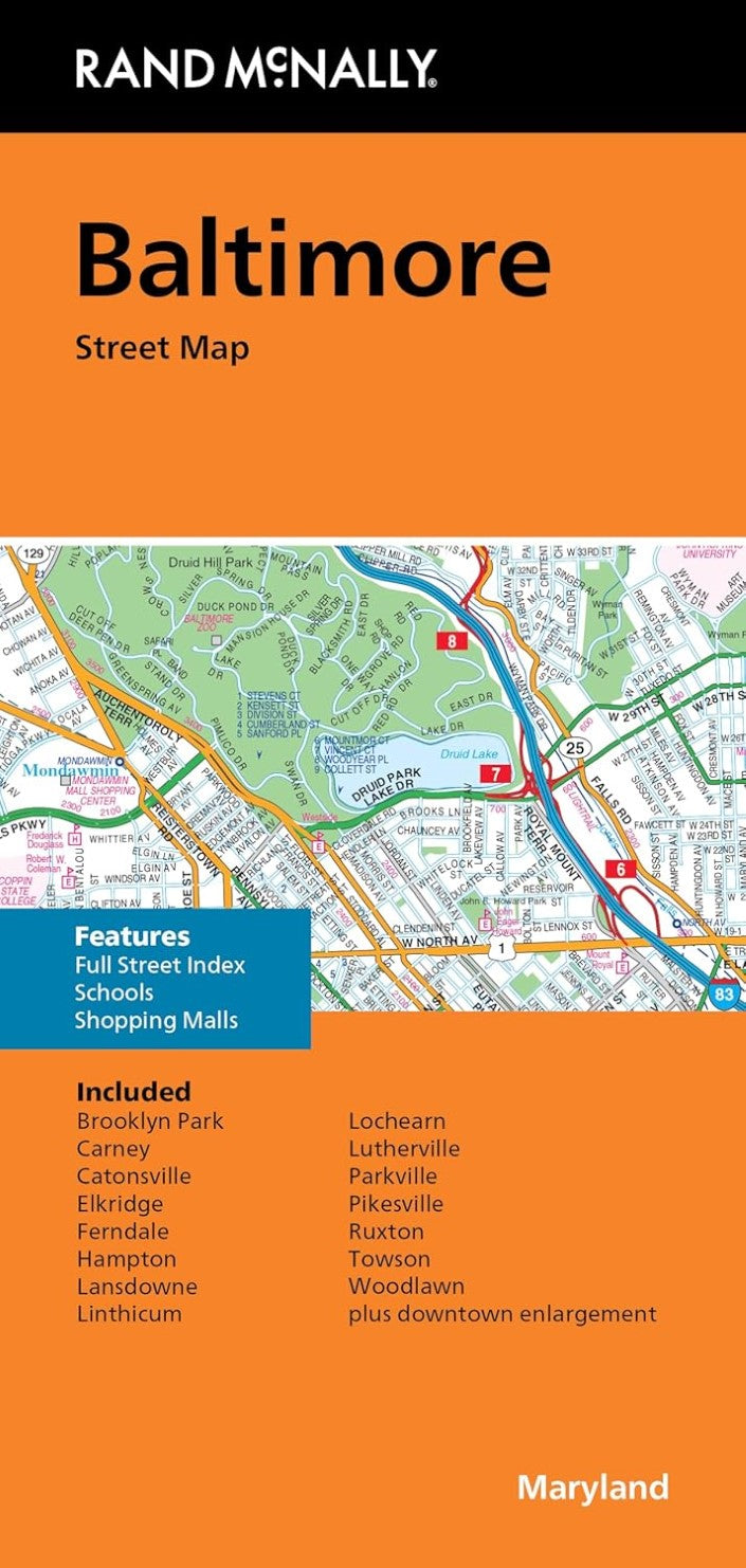
Rand McNally's folded map for Baltimore is a must-have for anyone traveling in and around this part of Maryland, offering unbeatable accuracy and reliability at a great price. Our trusted cartography shows all Interstate, U.S., state, and county highways, along with clearly indicated parks, points of interest, airports, county boundaries, and streets. The easy-to-use legend and detailed index make for quick and easy location of destinations. You'll see why Rand McNally folded maps have been the trusted standard for years. Regularly updated. Full-color maps. Clearly labeled Interstate, U.S., state, and county highways. Indications of parks, points of interest, airports, county boundaries, schools, shopping malls, and vicinity maps. Enlargements of downtown. Easy-to-use legend. Detailed & full street index. Convenient folded size. Copyright 2024Coverage Area. Communities Included: Brooklyn Park, Carney, Catonsville, Elkridge, Fernale, Hampton, Lansdowne, Linthicum, Lochearn, Lutherville, Parkville, Pikesville, Ruxton, Towson, Woodlawn. Measures 9.5" x 4" and folds out to 40'"x 28'"
- Type: Folded Map
- Subtype: City Maps
- Language: English
- Publication Date: 2024-06-01
- Scale: 1:32,000
- Regions Covered: Mid-Atlantic/Northeastern U.S., North America
- Countries Covered: United States
- States Covered: Maryland
- ISBN: 9780528028359
- UPC: 070609028354
- Folded Size: 4.33" (W) x 9.06" (H)
- Unfolded Size: N/A
- Weight: 2.2 oz