1
/
of
1
Institut Geographique National
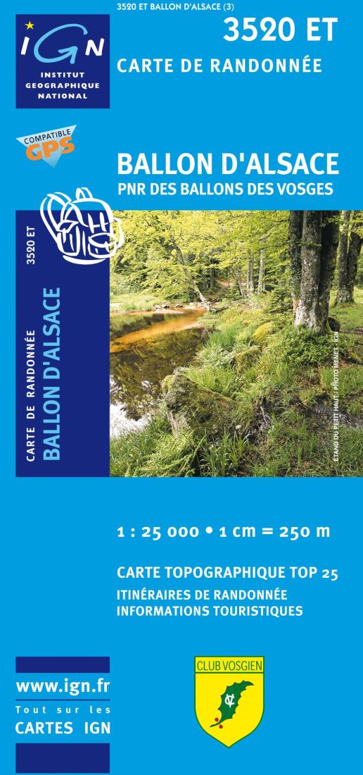
Ballon D'Alsace Topographic Map
Ballon D'Alsace Topographic Map
Regular price
$19.99 USD
Regular price
Sale price
$19.99 USD
Unit price
/
per
Shipping calculated at checkout.
Low stock
Couldn't load pickup availability
- SKU: IGN25_3520ET_9
- A topographical map of the surroundings of Ballon d’Alsace et du Parc Naturel Régional des Ballons des Vosges in the French département of Haut-Rhin (Alsace). This map is very helpful for outdoor activities, especially hiking and trekking. The legend is in French, sometimes in English, German or Italian, depending on the regions. This very detailed map shows contour lines, any significant streams, forest covers, built-up areas and individual buildings, as well as hiking trails such as the GR footpaths (Sentiers de Grande Randonnée). Other touristic information: religious buildings, windmills, monuments, dams, bridges, wells, lighthouses, towers, castles.
- Type: Folded Map
- Subtype: General Topographic
- Language: French
- Publication Date: 2009-06-01
- Scale: 1:25000
- Regions Covered: Europe, Western Europe
- Countries Covered: France
- ISBN: 9782758516378
- MPN: 3520 ET
- Folded Size: 4" (W) x 9.5" (H)
- Unfolded Size: N/A
- Weight: 3.5 oz


