Freytag & Berndt
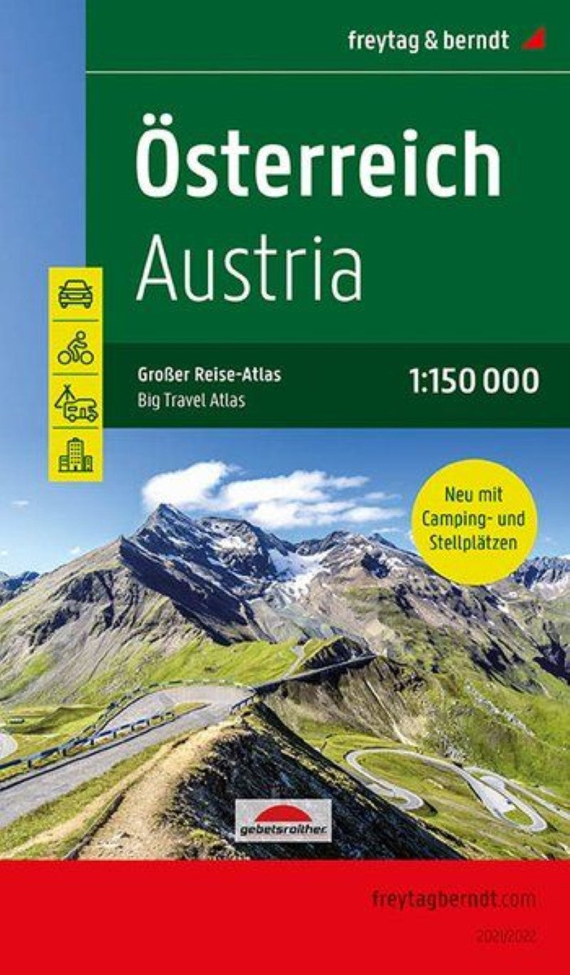
Austria, road atlas 1:150,000, large travel atlas with camping and parking spaces
Austria, road atlas 1:150,000, large travel atlas with camping and parking spaces
Regular price
$39.95 USD
Regular price
Sale price
$39.95 USD
Unit price
per
Shipping calculated at checkout.
Low stock
Couldn't load pickup availability
- SKU: FB_A_AT_LG_20
- Austria Supertouring Road Atlas from Freytag & Berndt in a handy 17x26cm spiral-bound format with street plans of 64 towns; one of several atlases based on the cartography of their 1:200,000 road map series, enlarged in this volume to 1:150,000 to provide a clearer picture of the wealth of information shown by the maps. Effective relief shading presents the country's terrain, with plenty of spot heights and names of peaks, mountain ranges, valleys, and other geographical features. Road network includes minor local roads and tracks and indicates toll roads, gradients, seasonal closures, roads closed to or not recommended for caravans, roads closed to motorized traffic, scenic roads and special tourist routes, etc. Railway lines are shown with stations, motor-rail services are indicated, and various types of mountain lines (cable cars, funiculars, etc) are marked. Picturesque locations are highlighted and symbols mark locations of campsites and youth hostels, sport and recreational facilities, various places of interest, etc. National parks and protected areas are shown and the overprint also highlights the country’s waymarked long-distance hiking trails. The maps have no geographical coordinates. The index gives the postcode for each locality. Map legend includes English. Street plans cover central areas of 64 towns, including popular tourist resorts such as Kitzbühel, Kufstein, and Zell am See; for Vienna the atlas has a street plan of the city centre, plus a map showing main traffic arteries across the city. Also provided is a section showing Austria at 1:1,000,000 for route planning.
- Type: Paperback Atlas
- Subtype: National Atlases
- Language: English, German
- Publication Date: 2020-06-23
- Scale: 1:150000
- Regions Covered: Central Europe, Europe
- Countries Covered: Austria
- ISBN: 9783707918632
- MPN: GR OE 1
- Folded Size: 5.9" (W) x 10.41" (H)
- Unfolded Size: 5.9" (W) x 10.41" (H)
- Weight: 2.6 oz