MapArt Publishing Corporation
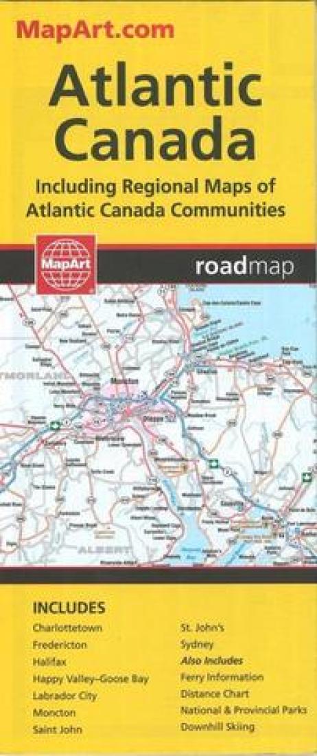
Atlantic Canada Road Map
Atlantic Canada Road Map
Regular price
$5.95 USD
Regular price
Sale price
$5.95 USD
Unit price
per
Shipping calculated at checkout.
Couldn't load pickup availability
- SKU: CCC_ATL_CAN_22
- The Atlantic Provinces are New Brunswick, Prince Edward Island, Nova Scotia, Newfoundland and Labrador. The map is two sided with Newfoundland & Labrador on one side the rest of the Province on the other. There are insets of Charlottetown, Fredericton, Halifax, Moncton, Saint John, St. John's and Sydney. A distance chart and ferry information is included for Atlantic Canada.
- Type: Folded Map
- Subtype: Road
- Language: English, French
- Publication Date: 2022-06-01
- Scale: Scales differ
- Regions Covered: Atlantic Ocean, North America
- Countries Covered: Canada
- States Covered: New Brunswick, Newfoundland, Nova Scotia, Prince Edward Island, Quebec
- ISBN: 9781553682653
- UPC: 66770202655
- Folded Size: 3.94" (W) x 9.45" (H)
- Unfolded Size: 27.17" (W) x 39.37" (H)
- Weight: 2 oz