Freytag & Berndt
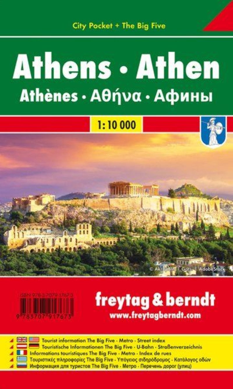
Athen, City map 1:10.000, City Pocket map + The Big Five
Athen, City map 1:10.000, City Pocket map + The Big Five
Regular price
$5.90 USD
Regular price
Sale price
$5.90 USD
Unit price
per
Shipping calculated at checkout.
Couldn't load pickup availability
- SKU: FB_ATHENS_PKT_18
- Large scale street plan of Athens. All roads are shown, with clear distinctions between dual carriageways, through roads, and secondary roads. Railway lines and stations are marked, as are public buildings, pedestrian zones, forests/parks, and industrial zones. Points of interest such as sporting facilities, historical sites, zoos, commercial centres are displayed, as well as post offices, hospitals, police stations and cemeteries. The map is grid-referenced and fully indexed.
- Type: Folded Map
- Subtype: City Maps
- Language: English, French, German, Greek, Russian
- Publication Date: 2018-10-11
- Scale: 1:10000
- Regions Covered: Balkans, Europe, Mediterranean Sea
- Countries Covered: Greece
- ISBN: 9783707917673
- MPN: PL 98 CP
- Folded Size: 3.54" (W) x 5.9" (H)
- Unfolded Size: 3.54" (W) x 5.9" (H)
- Weight: 1.76 oz